The Ultimate Guide to Traveling the Col de Tourniol
Col de Tourniol is a mountain pass at an elevation of 1.145m (3,756ft) above the sea level, located in the Drôme department in Auvergne-Rhône-Alpes region, in southeast-central France.
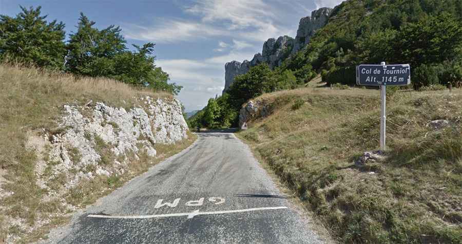
The road to the summit is totally paved narrow, and pretty steep, featuring 15 hairpin turns. It’s called D101. The pass has been featured in the Tour de France race.
The road to the summit is pretty steep, hitting a 9% of maximum gradient through some of the ramps. The pass road is 15.6 km long, running west-southeast from Barbières to Léoncel.