14 Ultimate 4x4 Adventures in America—Your Off-Road Bucket List
Are you yearning for adventure beyond the beaten path? In the vast expanse of America's rugged terrain, there lies an abundance of off-road treasures waiting to be explored. From the thrill of conquering challenging dirt trails to the serene beauty of remote landscapes, the United States offers an array of 4x4 journeys.
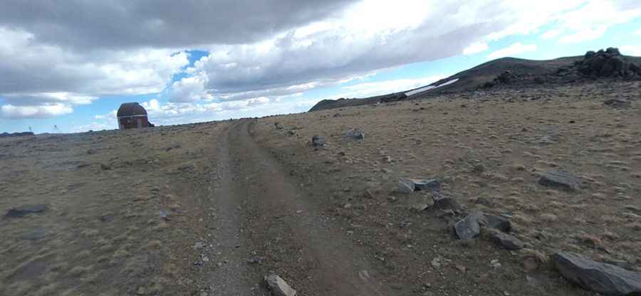
Get ready to navigate dirt, mud, sand, and rocks as we embark on a road trip to some of the finest off-road destinations across the nation.
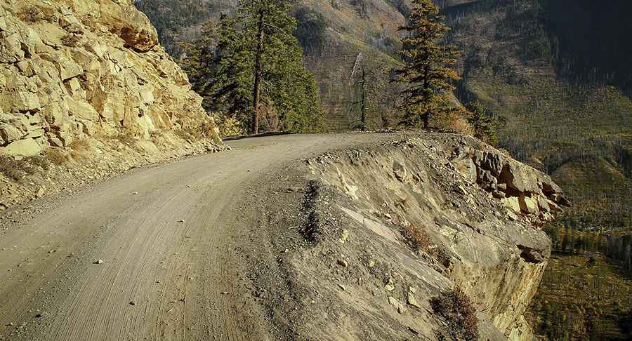
Hart’s Pass
Hart’s Pass is located within the Okanogan-Wenatchee National Forest. It is the highest point in the state of Washington that one can drive to. The road was built in 1893 to access gold and silver mines.
Pic: http://www.omtm.cc
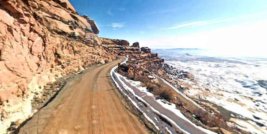
Mokee (or Moki) Dugway
Located in Utah, Mokee (or Moki) Dugway is a staggering, graded dirt switchback road carved into the cliff face of Cedar Mesa. It features sharp switchbacks with an 11% grade.
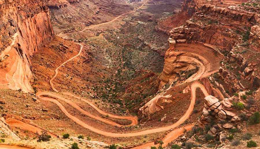
Shafer Trail Road – Shafer Canyon Road
Located in eastern Utah, Shafer Trail Road requires extreme caution in inclement weather or at night. It becomes slippery and often impassable when wet or icy. Originally built by uranium miners, the route offers dramatic views.
Pic: Ron Nguyen
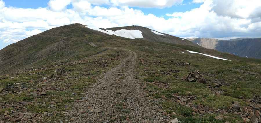
Mosquito Pass
Mosquito Pass is located in the Mosquito Range of Colorado, at 4,026 m (13,208 ft) above sea level. Even with a 4WD vehicle, the pass is typically accessible only during summer. You'll spend a lot of time in low gears.
Pic: Travis Taylor
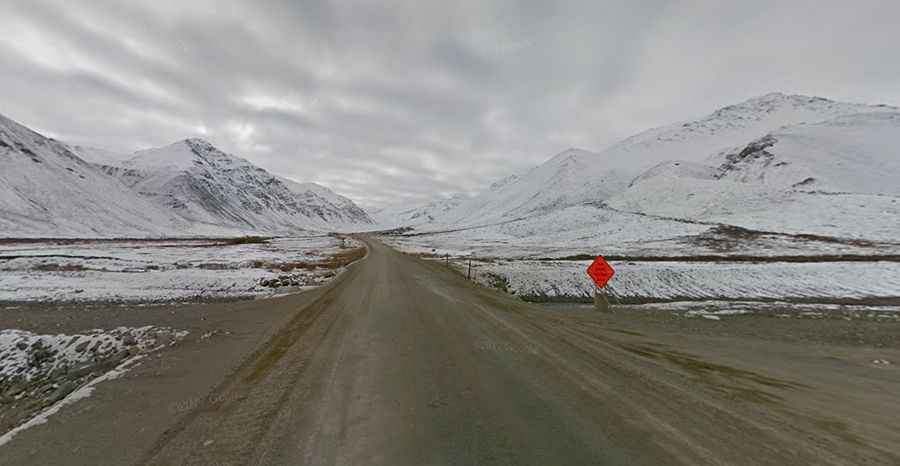
Dalton Highway
The Dalton Highway is said to be the loneliest road on the planet. This two-lane gravel road stretches for 414 miles (666 km) between the city of Fairbanks and Deadhorse in Alaska.
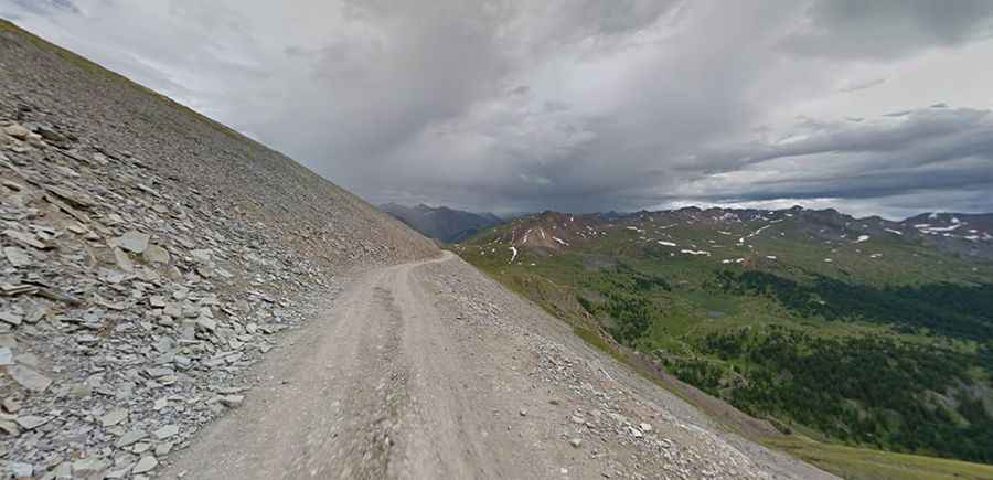
Alpine Loop
Stretching for 63 miles, the Alpine Loop is located in the San Juan Mountains of Colorado. The road climbs up two 12,000-foot passes—Engineer Pass and Cinnamon Pass—and is recommended for high-clearance, short wheelbase 4WD vehicles.
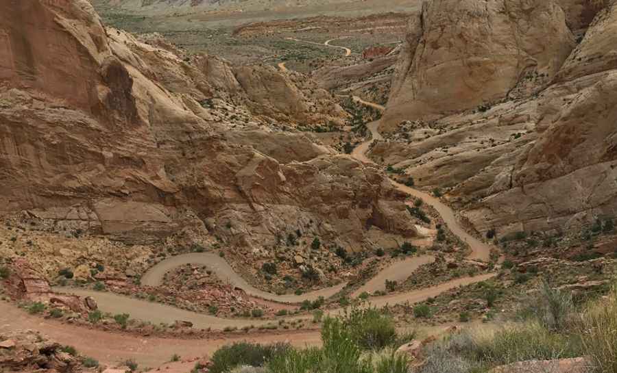
Burr Trail
Located in Utah, the Burr Trail runs for 68 miles (109 km). Although easily passable for regular cars in dry weather, wet conditions may make the road impassable even for 4WD vehicles.
Pic: Kevin Matejovsky
Imogene Pass
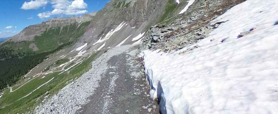
Imogene Pass sits at an elevation of 3,997 m (13,114 ft) above sea level, in the San Juan Mountains of Colorado. Stock SUVs should have low-range gearing, 4-wheel drive, high clearance, and skid plates. This trail is only for experienced drivers—it’s easy to make a fatal mistake here.
Pic: Clint Mitchell
Lippincott Mine Road
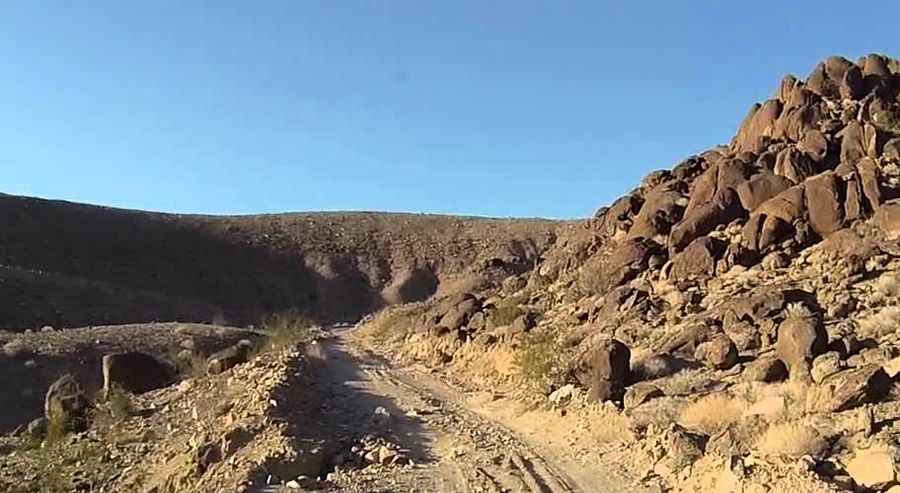
Located in Death Valley, Eastern California, Lippincott Mine Road is 8.2 miles long. It’s not for the casual driver or casual car. With no guardrails and steep drop-offs, you may find yourself navigating sections with only a foot or two of gravel.
Hurricane Pass
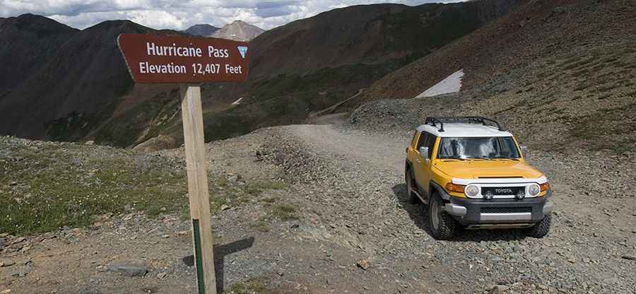
Hurricane Pass reaches an elevation of 4,034 m (13,238 ft) above sea level in Colorado. Be vigilant—this 5.34-mile, one-lane trail is steep and dangerous, with fatal drop-offs.
Pic: Matt Inden/Miles
Argentine Pass
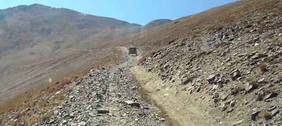
Argentine Pass sits at 4,025 m (13,207 ft) above sea level in the Front Range of the Colorado Rockies. It's rocky at the start and very narrow at the top. Snow can block the trail well into summer. Vehicle access is only possible from the Georgetown side—the Horseshoe Basin side is limited to hikers or cyclists.
Pic: Alan Atkins
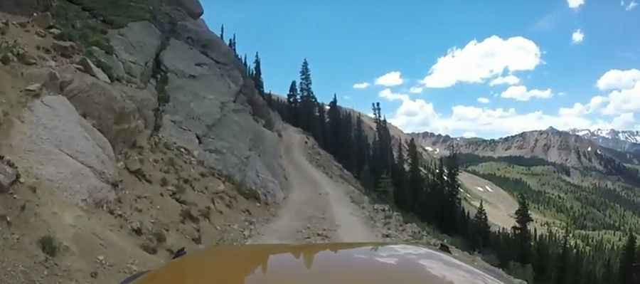
Taylor Pass
Taylor Pass is at an elevation of 3,642 m (11,948 ft) in Colorado and stretches for 8.5 miles. Go slow when the trail enters the creek—there can be deep holes. It’s typically open from July (though it may still be snowed in) to October (when early snows may close the pass).
Pic: Shannon Drew
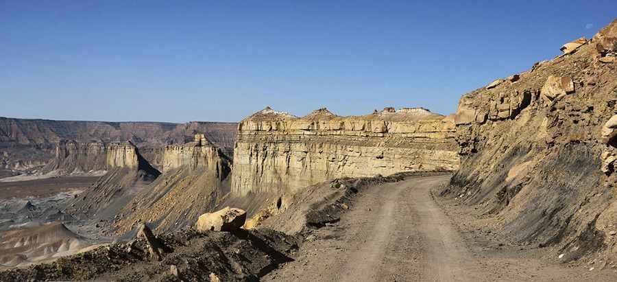
Smoky Mountain Scenic Backway (BLM 330)
Located in Utah, the Smoky Mountain Scenic Backway (BLM 330) is 78 miles long. Do not attempt it when it’s wet—some sections puddle and become impassable due to quicksand. Driving this high-clearance route is no simple undertaking—it's wild and rugged.
Pic: PROladigue_99
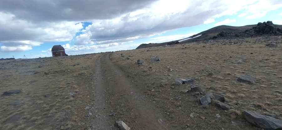
White Mountain Peak
White Mountain Peak reaches an elevation of 4,344 m (14,252 ft) above sea level in the White Mountains of Mono County, California. Arguably the easiest California fourteener via jeep road, it is still not for the faint of heart—steep drop-offs and narrow sections make it a serious endeavor. It’s usually cleared of snow between late June and November.