What are the most spectacular roads in England?
Located on the island of Great Britain, in the northern part of Europe, England is a country that shares borders with Scotland and Wales and covers an area of 130,279 square kilometers.
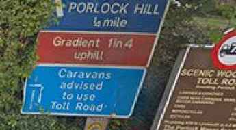
The roads in the country offer a bit of everything, with coastal drives, mountain roads and very steep streets. When travelling to England, you can’t miss Snake Pass, one of the best drives in the UK. At 512m (1,679ft) above sea level, the pass connects Manchester and Sheffield in Northern England and provides a challenging drive across the Pennines. For those preferring the most difficult challenges, don’t miss Hardknott Pass, one of the steepest roads in England, with a gradient of 1 in 3 (about 33%) or Porlock Hill, the steepest A road in England.
If you prefer different experiences, the country hosts the Stocksbridge Bypass. Featuring numerous reports of paranormal activity, it’s one of the Top Haunted Roads in the world. Or the stunning Swindon's Magic Roundabout, an insane 6-circle traffic junction within the Borough of Swindon. It has five smaller roundabouts directing traffic clockwise while cars travel counterclockwise around the inner circle. It's one of the world's 10 best roundabouts.
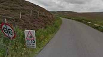
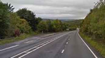
Snake Pass is one of the best drives in the UK
Snake Pass is a mountain pass at an elevation of 512m (1,679ft) above sea level. It connects Manchester and Sheffield in Northern England. This mountain pass offers a challenging drive across the Pennines. The road through the summit is one of the most iconic drives in the UK.
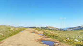
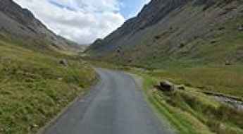
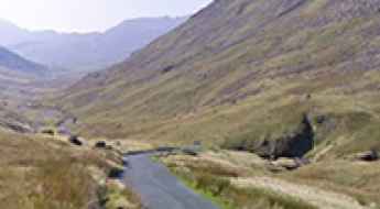
Hardknott Pass is one of the steepest roads in England
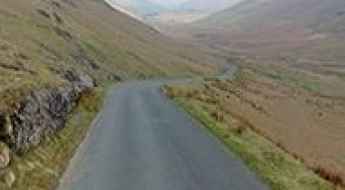
Hardknott Pass is a mountain pass at an elevation of 400m (1,312ft) above sea level, located in the Duddon Valley of Cumbria, in England. It’s said to be the steepest road in England with a gradient of 1 in 3 (about 33%).
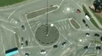
Swindon's Magic Roundabout is an Insane 6-Circle Traffic Junction
Swindon's Magic Roundabout is one of the most complex rotaries in the world. Located in Swindon, a large town within the Borough of Swindon and the ceremonial county of Wiltshire, in South West England, it has five smaller roundabouts directing traffic clockwise while cars travel counterclockwise around the inner circle. It's one of the world's 10 best roundabouts.
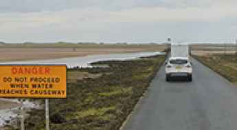
Lindisfarne Causeway is the road that floods twice each day
Located in the county of Northumberland, it lies on a tidal island known as Holy Island, also called Lindisfarne. Twice a day, the ancient path to the island disappears with the tides, leaving the Holy Island of Lindisfarne out to sea. Each year, there are many reports of people 'risking it' and having to be rescued from one of the raised safety points on the causeway. It’s one of the periodically flooded roads around the world.
Where are the six steepest streets in England?
Across England, a few daunting streets challenge both drivers and walkers with their steep inclines. Vale Street in Totterdown, Bristol, stands unmatched not just as the steepest in England, but also claims the title for the entire UK. Let's explore the streets that push us uphill and make the cut in the top five.
Porlock Hill is the steepest A road in England
Located in Somerset county, in South West England, Porlock Hill is said to be the steepest A road in the country.
The extreme 33% Gradient to Rosedale Chimney is one of the steepest climbs of Europe
Rosedale Chimney Bank is a mountain pass at an elevation of 312m (1,023ft) above sea level located in the Ryedale district of North Yorkshire, England. The tarmac road approaching the pass is one of the steepest, toughest, and most spectacular climbs in Europe, with a gradient of 33%.
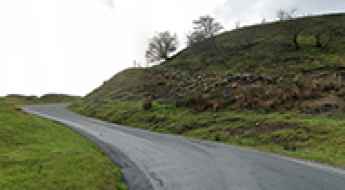
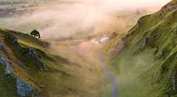
A brutally steep (28%) climb to Winnats Pass in England
Winnats Pass is a mountain pass at an elevation of 416m (1,364ft) above sea level, located in the High Peak district of Derbyshire, in England. The road to the summit averages over 10%, with a considerable section of 28% near the top.
Zig Zag Hill in Shaftesbury is the bendiest road in the UK
Zig Zag Hill is a challenging road located in Dorset, England. It’s said to be the windiest one-mile stretch of road in Great Britain.
Stocksbridge Bypass is a Top Haunted Road in England
Stocksbridge Bypass is a challenging road located in South Yorkshire, England. Numerous reports of paranormal activity along this road, including sightings of ghostly figures, strange lights, and eerie sounds, have earned it a reputation as one of the Top Haunted Roads in the world.
The steep Honister Pass in Cumbria is a must for road lovers
Honister Pass is a mountain pass at an elevation of 364m (1,194ft) above sea level, located in the Lake District, England. It is one of Cumbria’s highest passes, with a gradient of 19.3%.
B3135-Cheddar Gorge is one of Britain's most scenic drives
Located on the southern edge of the Mendip Hills, the B3135 road running through Cheddar Gorge is one of the best roads in the world and certainly an enjoyable road to drive.
The Burway is a dangerously steep drive in Shropshire
The Burway is the name of a very demanding drive located in Shropshire county, England.
Cat and Fiddle Road is the British Widow Maker
Sweeping between Macclesfield and Buxton, in the county of Cheshire, in England, the Cat and Fiddle Road is a widow-maker road because of its mounting death toll.
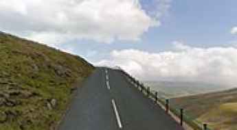
Things to Know Before Driving To Great Dun Fell in Cumbria
Great Dun Fell is a mountain peak at an elevation of 848m (2,782ft) above sea level, located in Cumbria, England. It’s said to be the highest paved road in Britain.
Get behind the wheels for Mam Tor
Mam Tor, known as "the Shivering Mountain," is a mountain pass at an elevation of 461m (1,512ft) above sea level, located in the High Peak of Derbyshire, in England.
Exploring Kirkstone Pass: A Scenic Drive with a Spooky Legend through the Lake District
Kirkstone Pass is a mountain pass at an elevation of 459m (1,505ft) above sea level, located in the Lake District, in the county of Cumbria, England. It is purportedly riddled with ghosts.
Eurotunnel connects France and England beneath the Strait of Dover
Completed in 1993, the Channel Tunnel is the longest undersea tunnel in the world and connects the southern part of England with northern France.
The road to Wrynose Pass in Cumbria is for confident drivers only
Wrynose Pass is a mountain pass at an elevation of 398m (1,305ft) above sea level, located in the Lake District National Park of Cumbria, England. You need to be a confident driver to attempt this, with gradients up to 1 in 4.
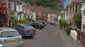
Vale Street is one of the steepest roads in England
Vale Street is said to be the steepest residential road in England. The road ramps up so sharply at the bottom it is almost vertical, with a roughly 22-degree gradient incline.
Buttertubs Pass is England’s only truly spectacular road
Buttertubs Pass is a mountain pass at an elevation of 528m (1,732ft) above sea level, located in the Yorkshire Dales, England. The climb was rated by Jeremy Clarkson as “England’s only truly spectacular road."
What are the highest roads in England?
Located in the North Atlantic, England takes up under two thirds of the island of Great Britain and a number of small islands. It is bordered to the north by Scotland and to the west by Wales. The weather in England is temperate with mild summers and winters. Most of the country consists of low hills and plains, with upland and mountainous terrain in the north and west.
York’s Hill is one of the steepest roads of England
Located in Kent, in South East England, York’s Hill is one of the steepest, toughest, and most spectacular finishing climbs in professional cycling.
Road A229 in England: ghost stories and local legends
Located in Kent county, in South East England, the infamous A229 road is said to be Britain's most haunted road. Many drivers have reported seeing a woman in a white dress appearing in front of their car. Drivers may find themselves engaged by a bride of death... It's one of the Top Haunted Roads in the world.
Winston Churchill Avenue cuts directly across the runway of the Gibraltar airport
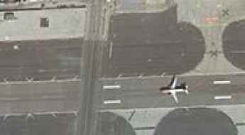
Winston Churchill Avenue is one of the busiest roads in the British overseas territory of Gibraltar. The avenue cuts directly across the runway of Gibraltar Airport. If having to be cautious of other drivers wasn't enough, on Gibraltar's Winston Churchill Avenue, you have to watch out for planes too.
Newlands Pass is a narrow and perilously steep road in Lake District
Newlands Pass is a mountain pass at an elevation of 333m (1,093ft) above sea level, located in the northern Lake District, in Cumbria, England. The route has humbled many egos.
A road with challenging winter conditions to Newby Head Pass
Newby Head Pass is a mountain pass at an elevation of 440m (1,443ft) above sea level located in North Yorkshire, England.
M6 is said to be Britain's most haunted road
The M6, also known as the backbone of Britain, is the longest motorway in the United Kingdom and one of the busiest. At the same time, the six-lane-wide road is named Britain's most haunted road. It's one of the Top Haunted Roads in the world.
A682 is England's most dangerous road
Located in the central part of England, the defiant A682 is described as one of the most dangerous roads in the country. It has claimed over 100 lives in the last 10 years.
10 Most Dangerous Roads to Drive on in the UK
While many of us enjoy a road trip, are there some roads we should be more aware of than others? This article will look at the 10 most dangerous roads to drive on in the UK.
The Broomway is Britain’s most deadly path
Located in Essex, in the southeastern part of England, The Broomway is said to be Britain’s most deadly path, killing more than 100 people at over 600 years old. The Broomway is exceptionally dangerous.
A narrow road to Cow Green Reservoir in England
Cow Green is a reservoir at an elevation of 510m (1,673ft) above sea level, located on the county border between Cumbria and County Durham, in England.
Discovering the Thrills of Whinlatter Pass: A Breathtaking Road in Cumbria
Whinlatter Pass is a mountain pass at an elevation of 337m (1,105ft) above sea level located in Cumbria, England.
The Olympics cycling Zig Zag road at Box Hill in England
Zig Zag Road is a paved (pristine and smooth) drive winding its way up North Downs in Surrey county, in the South East of England. It has been dubbed as England's Most Twisty and Curved Road.
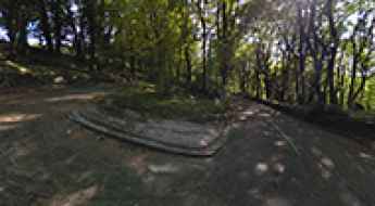
Adventure along the abandoned Old Mam Tor road
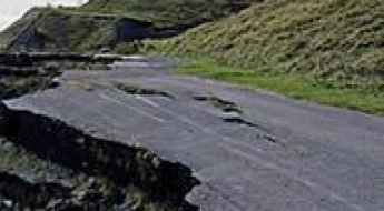
Located in the High Peak of Derbyshire, England, Old Mam Tor is the name of an abandoned road in 1979, after years of landslips. What's left of the road is still there, however impassible by cars.
Cam High Road Is the Highest Road in England Outside of the North Pennines
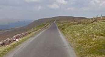
Cam High Road is a narrow mountain road located in North Yorkshire, in England. It’s one of the highest roads in the country.
