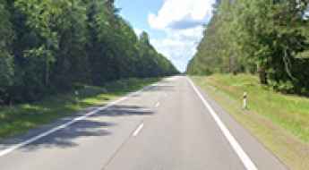
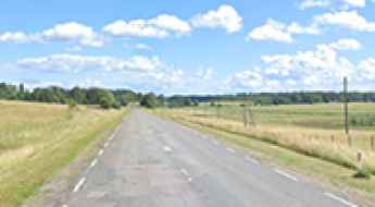
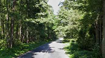
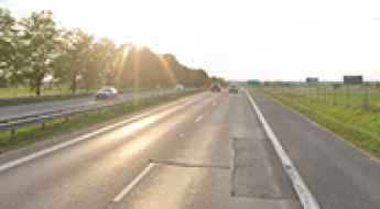
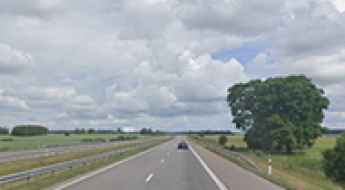
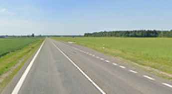
What are the most spectacular roads in Lithuania?
Lithuania, officially the Republic of Lithuania, is the largest and most populous of the three Baltic states, situated on the eastern shore of the Baltic Sea in northeastern Europe. It is bordered by Latvia to the north, Belarus to the southeast, Poland to the southwest, and Kaliningrad, a territory of Russia, to the west. The country has 262 km (163 mi) of coastline. The terrain is predominantly flat, shaped by glacial activity, except for some hills in the western and eastern highlands, which do not exceed 300 meters. The highest point in Lithuania is Aukštojas Hill, at 294 meters (965 feet) above sea level, while the lowest point is along the Nemunas River, 5 meters (16 feet) below sea level. The country has numerous small lakes and swamps, and around 30% of Lithuania is covered by mixed forests.
How to get to Aukstojas Hill, the highest point of Lithuania, by car?
Located in the Vilnius Region of Lithuania, Aukštojas Hill, at 294 meters (965 feet) above sea level, is the highest point in the country.
Southern Via Baltica: Key Route Between Lithuania and Poland
The Southern Via Baltica is a busy road, running from Lithuania to Poland, heavily used for international freight and travel. Part of the Via Baltica route, one of the most important transit arteries in the Eastern Europe, the road is also pretty scenic, running through culturally significant regions.
Panemune Road: A Scenic Journey Through Lithuania
Panemunė Road is one of Lithuania's most scenic drives, offering natural beauty and historical landmarks. Along the road, travelers can explore castles, manor houses, and local culture. This is a road steeped in the romance and drama of the nation’s turbulent past.
A4 Road: Scenic Drive Through Dzūkija
Located in the southeastern part of Lithuania, the A4 Road is a very scenic drive through forests, meadows, lakes, and the Dzūkija region. If you’re a nature lover, this is the road for you.
Old Postal Tract: Lithuania’s Historic Route 66 Connecting Key Cities
Located in the eastern part of Lithuania, the Old Postal Tract is a historic road that played a crucial role in connecting cities and facilitating communication, especially during World War I.
102 Road: Linking Vilnius and Latvia
Located in the eastern part of Lithuania, the 102 Road is a very scenic drive connecting Vilnius, the capital of the country, with Latvia. It’s a less-traveled route, ideal for exploring rural areas.
Neringa Road: Discover the Curonian Spit Peninsula
Neringa Road is a very scenic drive through the Curonian Spit peninsula, in the Baltic Sea of Lithuania. The road is known for its natural beauty and outdoor activities.
Four Capitals Route: Explore Lithuania’s Historic Capitals
The Four Capitals Route is a very scenic drive connecting Lithuania's historical and current capitals, offering a journey through different periods in the country's history. The route includes significant cultural and historical sites.
E272 Road: Cross-Lithuania Adventure
The E272 Road is a very scenic drive located in the eastern part of Lithuania, running from the capital to the Baltic Sea, passing through a variety of landscapes and cities.
Aukstaitian Road: Historic Journey Through Lithuania
Located in the central part of Lithuania, the Aukstaitian Road is a historic route of the country, originally built in the lead-up to World War II to connect Kaunas to the country's interior, running through territories once controlled by the powerful Radvila (Radziwill) clan.
