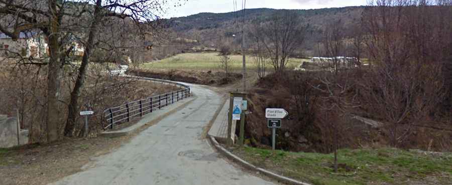
The road to Cim de Coma Morera: be ready to make room for oncoming vehicles
Cim de Coma Morera is an international high mountain pass at an elevation of 2,205m (7,234ft) above sea level, located on the Spanish-French border.
Where is Cim de Coma Morera?
The pass is located on the border between the comarca of Ripollès in Girona Province, Catalonia, in the northern part of Spain, and the Pyrénées-Orientales department in the Occitania region of southern France.
What’s at the summit of Cim de Coma Morera?
Tucked away in the Pyrenees, a mountain range in southwest Europe that forms a natural border between France and Spain, the summit—also known as Loma Morera—hosts a small parking lot.
How to get to Cim de Coma Morera in France?
On the French side, the road to the summit is mostly paved (though in poor condition), with some gravel sections near the end of the climb. Starting from Ossèja, via Coll de Pradelles, the ascent is 11.3 km (7.02 miles) long. Over this distance, the elevation gain is 800 meters (2,625ft), with an average gradient of 7.07%.
How to get to Cim de Coma Morera in Spain?
On the Spanish side, the road to the summit is completely unpaved. It’s called Camí a la Coma Morera and starts from the Eje Pirenaico N-260 road. A 4x4 vehicle is required to navigate this rugged terrain.