Driving the countless turns to Jimu Gong La in Tibet
Jimu Gong La is a high mountain pass at an elevation of 5,483m (17,988ft) above sea level. It's located on the boundary between Lhozag and Cona counties in the Shannan Prefecture of Tibet, China.
Is the road to Jimu Gong La paved?
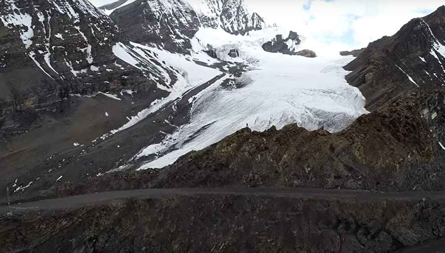
Situated in the southern part of the country, near the border with Bhutan, the road to the summit, also referred to as Jimu Gonglie or Jimu Gongla, was constructed recently. The road, known as G695, is entirely unpaved. The journey is challenging, characterized by numerous hairpin turns and steep sections. The pass derives its name from the nearby Gonglie Glacier.
How long is the road to Jimu Gong La?
Stretching 49.7 km (30.88 miles) from north to south, the road runs from Seqiongtang (in Lhozhag County) to Longbalong (in Cona County). Typically, the road remains closed from late October to late June or early July, depending on snow conditions. It's essential to exercise caution: the high altitude means reduced oxygen levels, so visitors should be prepared for the potential risk of AMS (Acute Mountain Sickness).
Road suggested by: Hugh Wilson
Pic: 东海嘉措