The road to Pic de Carroi is not for the faint of heart
Pic de Carroi is a high mountain peak at an elevation of 2,265m (7,431ft) above sea level, located in Andorra. It’s one of the highest roads in the country.
Where is Pic de Carroi?
The peak is located on the La Massana and Andorra la Vella boundary, in the western part of the country. The summit hosts many communication towers.
Is the road to Pic de Carroi unpaved?
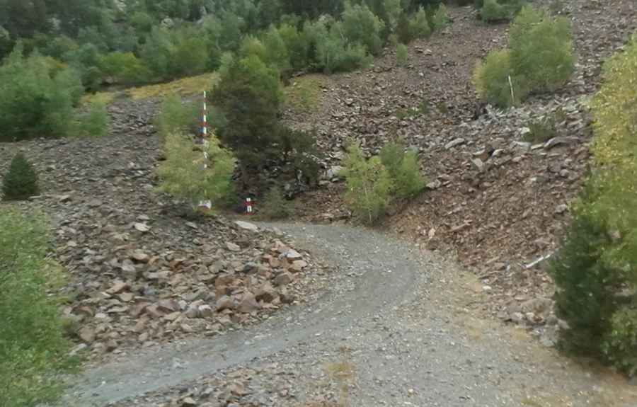
The road to the summit is called Camí Pic de Carroi. It’s completely unpaved, with only the last hairpin turns on a concrete surface. A 4x4 vehicle is required.
How long is the road to Pic de Carroi?
The road to the summit is very steep. Starting from Sispony, the road is 6.9 km (4.28 miles) long. Over this distance, the elevation gain is 975m, with an average gradient of 14.30%, hitting 20% through some of the ramps.
Is the road to Pic de Carroi open in winter?
Set high in the Pyrenees mountain range, the road is usually impassable in winter.
Pic: Treta29