Ultimate 4wd destination: Masonic Mountain in CA
Masonic Mountain is a high mountain peak at an elevation of 2.812m (9,225 ft) above the sea level, located in Mono County, in the east central portion of the U.S. state of California. It’s one of the highest roads of California.
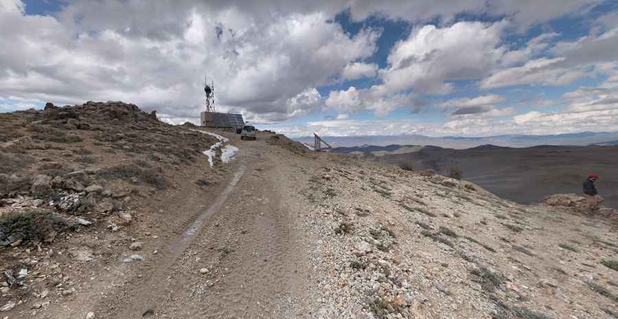
Set high in the Sierra, the road to the summit is totally unpaved with ruts and embedded rock. It’s called NF-169 (Bodie Masonic Road). This road is usually closed from late October through late June or early July (depending on snow). It is not generally snow-free until late June or even July in some years.
The road is suitable for most stock SUVs with 4-wheel drive and moderate clearance. Be prepared for lack of cell reception. The drive offers epic views of the Sierra, nearby mountains and historic abandoned mine structures stretching out in all directions. The summit is crowned with many communication towers.
The road to the summit is very steep, hitting a 29% of maximum gradient through some of the ramps. Starting at the paved Sweetwater Road, the ascent is 15.9km (9.87 miles) long. Over this distance the elevation gain is 823 meters. The average gradient is 5.17%.
Pic: Daniel Koopman