A Great Little Curvy Road to Buffalo Pass in Arizona
Buffalo Pass is a high mountain pass at an elevation of 2,610m (8,562ft) above sea level, located in Apache County, in the US state of Arizona.
Where is Buffalo Pass?
The pass is located north of Roof Butte, in the heartland of the Navajo Nation, in the northeastern part of Arizona, near the New Mexico border.
Is the road through Buffalo Pass paved?
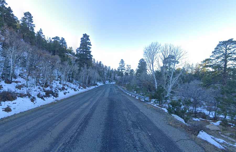
The road to the summit is completely paved. It’s called Indian Route 13. It’s a great little curvy road with twists and turns, offering a scenic panorama of sandstone cliffs and tall ponderosa pines. The road features very steep sections, hitting a 13.2% maximum gradient through some of the ramps.
How long is the road through Buffalo Pass?
Running through beautiful red cliffs, the pass road is 36.53km (22.7 miles) long, running from Indian Route 12 to Red Rock.
Is the road to Buffalo Pass open in winter?
Set high in the Chuska Mountains, access to the pass is typically open all year round, with occasional closures in winter due to dangerous weather conditions. It can be windy at the summit.
Is Buffalo Pass worth the drive?
Near the summit, there’s a picnic ground. It’s one of the few places on the Navajo Nation where there are picnic tables. The views of the surrounding area and mountainsides are incredible. It has great views of Ship Rock.