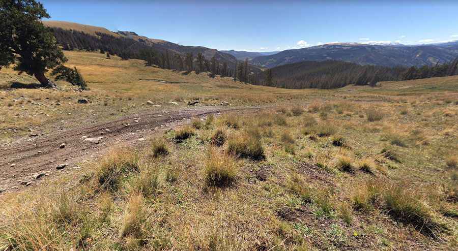
The road to Bennett Peak in Colorado is pure adventure
Bennett Peak is a high mountain peak at an elevation of 4,029 m (13,218 ft) above sea level, located in Rio Grande County, in the US state of Colorado. It’s one of the highest roads in Colorado.

Where is Bennett Peak?
The peak is located south of Del Norte, in the southwestern part of Colorado, within the Rio Grande National Forest.
Is the road to Bennett Peak unpaved?
The road to the summit is totally unpaved and rough. Running entirely above the timberline, this primitive dirt road follows a gentle, grassy tundra summit with an unusually large rock cairn. If you can’t drive it, you’ll have to walk it.
How long is the road to Bennett Peak?
Starting from Blowout Pass, at an elevation of 3,590 m (11,779 ft) above sea level, the road to the summit is about 5 km (3.1 miles) long. A 4x4 vehicle is recommended.
Is the road to Bennett Peak open in winter?
Set high in the San Juan Mountains range of the Rocky Mountains, the road is totally impassable in winter due to snow. At this elevation, it is the highest point in Rio Grande County.