The Ultimate Guide to Traveling the Austrian Solk Pass
Sölk Pass is a high mountain pass at an elevation of 1.793m (5,882ft) above sea level, located in the Austrian state of Styria.

When was the road to Sölk Pass built?
Passable by cars since 1959, the pass has been in use since the late Bronze Age as a mule track. Later, it worked as an important trade route. It was made usable for carts in the late 16th century and fully paved in 1986.
Is Sölk Pass in Austria paved?
The road to the summit, also known as Sölkpass, is totally paved. It’s called L704 (Erzherzog-Johann-Straße).
Is Sölk Pass in Austria challenging?
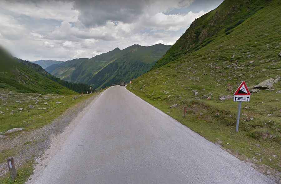
The road is very curvy, narrow in parts, with some hairpin turns. In summer, the asphalt is often marked by severe frost damage. The road to the summit is very steep, hitting a 15% maximum gradient through some of the ramps.
How long is Sölk Pass in Austria?
The pass is 39.6km (24.6 miles) long, running south-north from Schöder (in the district of Murau) to Stein an der Enns (in the district of Liezen).
Is Sölk Pass in Austria open?
Set high in the Low Tauern range of the Central Eastern Alps, the pass is generally closed during the winter months and opens around May again. The road has restrictions for buses over 12 meters and 16 tonnes.
Is Sölk Pass in Austria worth it?
To drive the road without stopping will take most people between 45 and 75 minutes. At the summit sits a small chapel known as Sölkpass Kapelle. Running along an idyllic alpine landscape, the drive offers a magnificent mountain panorama.