An Unforgettable Drive to Blueberry-Paulson Summit in BC
Blueberry-Paulson Summit is a high mountain pass at an elevation of 1,517m (4,977ft) above sea level, located in British Columbia, Canada's westernmost province.
Where is Blueberry-Paulson Summit?
The pass, also known as Bonanza Pass, is located in the southern part of the country, near the US border.
Is the road through Blueberry-Paulson Summit paved?
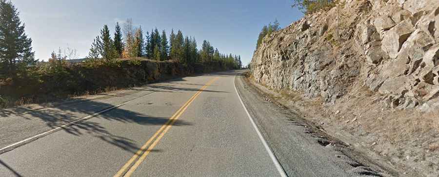
The road to the summit is totally paved, in very good condition. It’s called Crowsnest Highway (Highway 3), also known as the Southern Trans-Provincial Highway. It is a route that's as essential as it is beautiful.
How long is Blueberry-Paulson Summit?
The pass is 81km (50 miles) long, running south-north from the US border to Ootischenia (on the east side of the Columbia River in the West Kootenay region).
Is Blueberry-Paulson Summit open in winter?
Set high in the Monashee Mountains, the road is usually open throughout the year, but winter surprises are a real fear; sudden snowstorms, blowing snow, and fog often make winter driving hazardous and slow. At high elevations, it can sometimes get to be -30°C in cold winter weather. Avalanche chutes scar the mountainsides and are a visible reminder of the steep terrain that surrounds the highway. Winter tires or chains are required on most routes in British Columbia from October 1 to April 30.