A mediocre quality but deserted road to Val Pelouse
Val Pelouse is an abandoned ski station at an elevation of 1.728m (5,669ft) above the sea level, located in the Savoie department in the Rhône-Alpes region in south-eastern France.
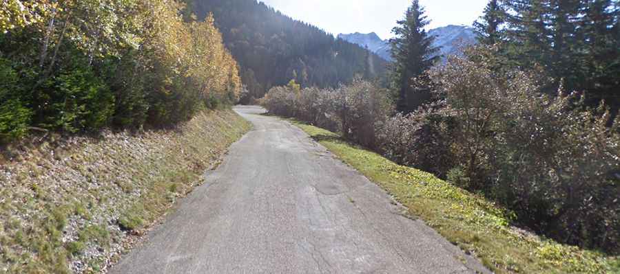
The road to reach the summit is called D208. There are a few really big holes and bad stretches. It’s worth paying attention on the way up, to avoid disaster on the way down. Relentless and very steep, on a mediocre quality but deserted road, through the woods and then above the treeline with great views. At the top is a parking lot and absolutely nothing else. Not even a sign!
The road to the summit is closed during winter. It’s usually open only to Molliet, at an elevation of 728 m above the sea level. Today the wide access road is in a poor state although there is some obvious maintenance work, because the area is used by summer walkers and especially paragliders.The ski station was created by the communes of la Rochette and Arvillard during the white gold rush of the 1970s. The resort had little infrastructure, a few drag lifts and a chalet. The area was never profitable. The access road was too long and the slopes too steep for family skiing although off-piste skiers liked the area. La Rochette decided to stop subsiding the area and closed in 1985.
Starting from La Rochette, the ascent is 16.4 km long. Over this distance, the elevation gain is 1.373 meters. The average percentage is 8.4 %. The first 4km are relatively benign, after that the final 12,4km average over 9% - and the last 10km never get below that figure.