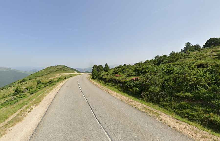
Plateau de Beille: A Legendary Tour de France Climb in the Pyrenees
Plateau de Beille is a ski resort at an elevation of 1,787m (5,862ft) above sea level, located in the Ariège department of France. It’s one of the most iconic climbs in the country.

Where is Plateau de Beille?
The resort is located in the Occitanie region, in the southwestern part of the country, near the border with Andorra, within the upper Ariège valley. The views are great from the Nordic ski station at the top.
Is the road to Plateau de Beille paved?
The well-maintained road to the summit is totally paved. It’s called D522. The climb is very demanding, with steep sections, hitting a 12% maximum gradient through some of the ramps and 15 hairpin turns. The 9th km is the steepest.
How long is the road to Plateau de Beille?
Starting from Verdun, the iconic road to the resort is 16.0 km (10 miles) long. Over this distance, the elevation gain is 1,251m, and the average gradient is 7.81%. It's an HC climb.
Why is Plateau de Beille famous?
The ascent to Plateau de Beille is a classic climb in the Tour de France, having first been used in the 1998 edition. The legendary Marco Pantani won the stage, which was classified as Hors Catégorie, making history in the process. Stage winners here have included Lance Armstrong, Alberto Contador, and Tadej Pogacar. Sometimes compared to Alpe d’Huez due to its similar statistics, it is one of the more difficult climbs in the Pyrenees. The Plateau de Beille has also been used seven times for a stage finish of the Route du Sud.
Is the road to Plateau de Beille open in winter?
Set high in the Central Pyrenees mountain range, the road is usually open throughout the year to enable access to the ski resort. Due to the cold in the winter months, it’s recommended to try the climb from late April to the end of October.