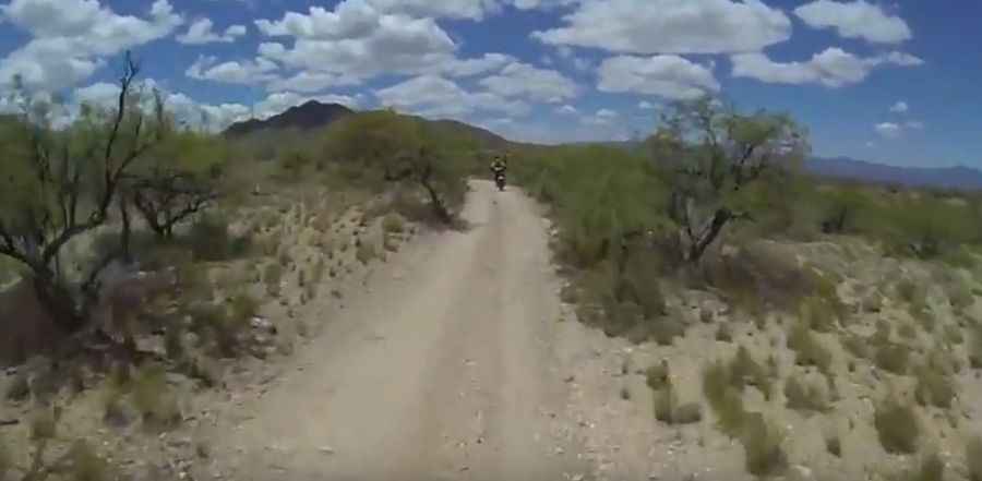
A fire road to Keystone Peak in Arizona
Keystone Peak is a high mountain peak at an elevation of 1.886m (6,188ft) above the sea level, located in Pima County, in Southern Arizona, United States. The area has seen extensive mining and ranching activity.

Set high in the Sierrita Mountain range, the road to the summit is totally unpaved. It’s an easy road but features a couple nice steeper stretches. Numerous live and abandoned mines dot the hillside as one ascends the trail. Radio towers sit atop the peak. The route to the top was an old mining road turned into a utility road to access a set of towers at the summit. The road is not maintained. It’s gated at the base of the mountain at McGee Ranch.
Located southwest of Tucson, the improved dirt road to the summit is a bit steep. Starting from Mission Road, the drive is 16.41km (10.2 miles) long. The elevation gain is 788 meters. The average gradient is 4.8%. It can be challenging (even flooded) after rains.
Pic&video: Cyber dos