What are the most spectacular roads in France?
France is a true paradise for those wishing to experience the most spectacular roads, and it provides endless experiences for each driver. From stunning balcony roads, mountain passes, and coastal drives, to roads disappearing with the tides, it hosts more than 750 roads listed as the most spectacular in the world.
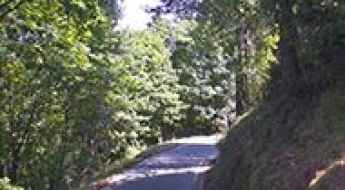
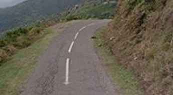
Located in the western part of Europe, France covers an area of 551,695 square kilometers and shares borders with 7 countries: Belgium, Luxembourg, Germany, Switzerland, Italy, Spain, and Andorra. With high mountains in the Alps and the Pyrenees, the roads of the country are famous worldwide because of the Tour de France, the most important cycling race. When traveling to the country, be sure to experience a drive through the best balcony roads. Dramatically carved out of rock on the side of mountains, the balcony roads are a unique experience for any rider.
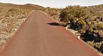
The country also hosts iconic roads, known worldwide, including Col du Chaussy, a mountain pass at 1,533m (5,029ft) above sea level, famous for the “Lacets de Montvernier,” a special 3 km stretch with 17 hairpins as the road virtually climbs a cliff, or Col de Turini, a treacherous Alpine road with a legendary driving history, as one of the most dangerous and challenging stages of the Monte Carlo Rally and one of the most scenic drives in the world. For those preferring another kind of experience, don’t forget to drive Passage du Gois, the tide-covered road. It’s a natural passage flooded twice a day by the high tide leading to the island of Noirmoutier.
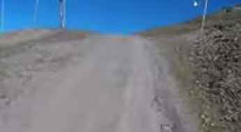
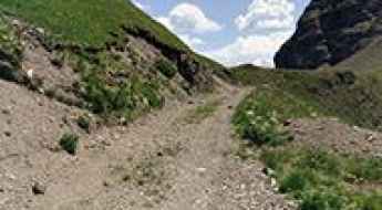
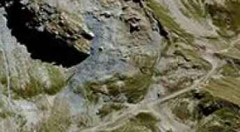
Col des Anies
Col des Anies is a high mountain peak at an elevation of 2.134m (7,001ft) above the sea level, located in the Pyrénées-Atlantiques department in south-western France.
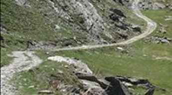
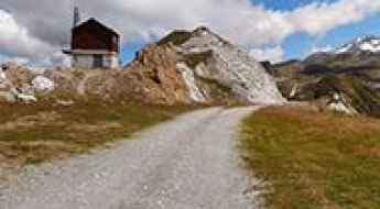
Le Plan des Mains
Le Plan is a high mountain refuge at an elevation of 2.129m (6,984ft) above the sea level, located in the Savoie department, in the Auvergne-Rhône-Alpes region of the French Alps.
Refuge du Saut
Refuge du Saut is a high mountain refuge at an elevation of 2.137m (7,011ft) above the sea level, located in the Savoie department, in the Auvergne-Rhône-Alpes region of the French Alps.
Lac de la Grande Moucherolle
Lac de la Grande Moucherolle is a high mountain lake at an elevation of 2.015m (6,610ft) above the sea level, located in the Isère department of the Auvergne-Rhones-Alpes region in southeastern France.
Fort du Sapey
Fort du Sapey is a military fortress, part of the Maginot Line's Alpine extension, at an elevation of 1.725m (5,659ft) above the sea level, located in the Savoie department in the Auvergne-Rhône-Alpes region in south-eastern France.
Cime des Cabanelles
Cime des Cabanelles is a mountain peak at an elevation of 1.087m (3,566ft) above the sea level, located in the Alpes Maritimes department in southeastern France.
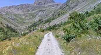
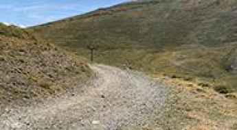
Road D93
Road D93 is challenging drive in the heart of the Savoie department in the Auvergne-Rhône-Alpes region in south-eastern France. The average gradient is 6.82% with 18 hairpin turns along the way.
Col de Peyrefitte
Col de Peyrefitte is a high mountain peak at an elevation of 1.859m (6,099ft) above the sea level, located on the border of Haute-Garonne and Hautes-Pyrénées departments in southwestern France.
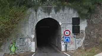
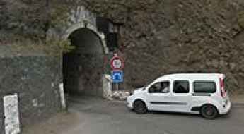
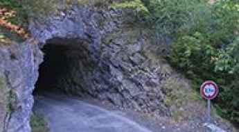
Tunnel de Peter Both
Tunnel de Peter Both is a very challenging tunnel located in Réunion, a French island located in the Indian Ocean, east of Madagascar.
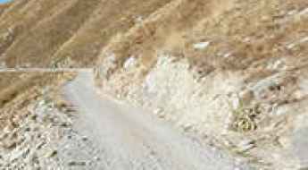
Col de la Serena
Col de la Serena is a mountain pass at an elevation of 1.303m (4,274ft) above the sea level, located in the Alpes-Maritimes department in southeastern France. Be prepared. The road is very narrow. It’s not for the faint of heart or ill prepared.
Driving the breathtaking road to Bellecombe is not a piece of cake
Bellecombe is a high mountain peak at an elevation of 2,602m (8,536ft) above sea level, located in the Alps on the French-Italian border.
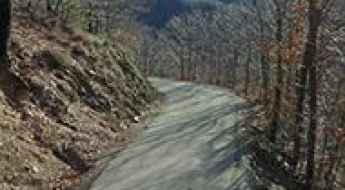
Hautacam is a legendary Tour de France climb
Station du Hautacam is a ski resort at an elevation of 1.523m (4,996ft) above the sea level, located in the Hautes-Pyrénées department in the Occitanie region of France.
Col du Cenise
Col du Cenise is a high mountain pass at an elevation of 1.723m (5,652ft) above the sea level, located in the Haute-Savoie department in the Auvergne-Rhône-Alpes region in south-eastern France.
Col de la Platta
Col de la Platta is a high mountain pass at an elevation of 2.391m (7,844ft) above the sea level, located in the Savoie department in the Auvergne-Rhône-Alpes region in south-eastern France.
The inhumane Mur de Monieux with 21% ramps
Mur de Monieux is a short but devastatingly steep climb in the Vaucluse department in the Provence-Alpes-Côte d'Azur region in southeastern France. It’s one of the steepest roads of the country.
Tete de Vescal
Tete de Vescal is a high mountain peak at an elevation of 2.435m (7,988ft) above the sea level, located in the Alpes-de-Haute-Provence department in the Provence-Alpes-Côte d'Azur region of southeastern France. The average gradient is 17.57%.
Pas de Coterieux
Pas de Coterieux is a high mountain pass at an elevation of 2.526m (8,287ft) above the sea level, located in the Savoie department in the Auvergne-Rhône-Alpes region in south-eastern France.
Gros Crey
Gros Crey is a high mountain peak at an elevation of 2.581m (8,467ft) above the sea level, located in the Savoie department in the Auvergne-Rhône-Alpes region in south-eastern France.

Ouvrage Plan Caval
Ouvrage Plan Caval is a military fortress, part of the Maginot Line's Alpine extension, at an elevation of 1.912m (6,272ft) above the sea level, located in the Alpes-Maritimes department in the Provence-Alpes-Cote-d'Azur region in southeastern France.
Tunnel de Gueule Rouge
Tunnel de Gueule Rouge is a very challenging tunnel located in Réunion, a French island located in the Indian Ocean, east of Madagascar.
Col du Coin
Col du Coin is a high mountain peak at an elevation of 2.275m (7,463ft) above the sea level, located in the Savoie department in the Auvergne-Rhône-Alpes region in south-eastern France.
Crete de la Balme
Crete de la Balme is a high mountain pass at an elevation of 2.570m (8,431ft) above the sea level, located in the Hautes-Alpes department in southeastern France.
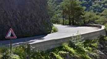
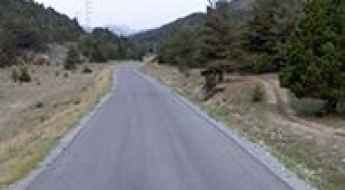
Col du Trible: a narrow paved road to the summit
Col du Trible is a mountain pass at an elevation of 540m (1,771ft) above the sea level, located in the Ardèche department in the Rhône Valley in southern France. Be careful: this road is not for the sissies.
Pas de Chavanette
Pas de Chavanette is an international high mountain pass on the French-Swiss border atop the ski slopes above Avoriaz at an elevation of 2.147m (7,043ft) above the sea level.
Aiguille Grive
Aiguille Grive is a high mountain peak at an elevation of 2.541m (8,336ft) above the sea level, located in the Auvergne-Rhône-Alpes region in south-eastern France.
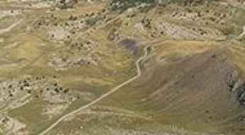
Pas des Sables, a road through a lunar landscape
Pas des Sables is a high mountain pass at an elevation of 2.374m (7,788ft) above the sea level located on the eastern side of Réunion island in the Indian Ocean.
If you love to drive, you’ll love the road to Madone d'Utelle
Madone d'Utelle is a high mountain sanctuary at an elevation of 1.177m (3,861ft) above the sea level, located in the Alpes-Maritimes department in Provence-Alpes-Côte d'Azur region, in France.
Col Merciere
Col Merciere is a high mountain pass at an elevation of 2.346m (7,696ft) above the sea level, located in the Alpes-Maritimes department in southeastern France.
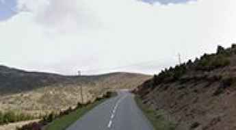
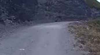
Col du Campo
Col du Campo is a mountain pass at an elevation of 452m (1,482ft) above the sea level, located in the Haute-Corse department of France on the island of Corsica.
Col de Platé
Col de Platé is a high mountain pass at an elevation of 2.362m (7,749ft) above the sea level, located in the Haute-Savoie department in the Auvergne-Rhône-Alpes region in southeastern France.
A wild military road to Vallon de Savine
Vallon de Savine is a high mountain peak at an elevation of 2.227m (7,306ft) above the sea level, located in the northern Cottian Alps, in the Savoie department in the Auvergne-Rhône-Alpes region in south-eastern France.
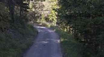
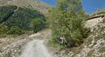
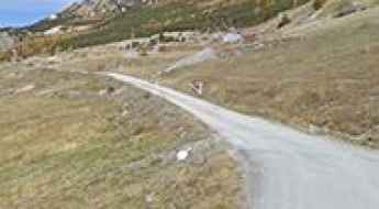
Oulles
Oulles is a high mountain town at an elevation of 1.483m (4,865ft) above the sea level, located in the Isère department in southeastern France. With a dozen year-round residents, it’s the smallest village in Isère.

Puy de Dome is an iconic Tour de France climb
Puy de Dôme, with its magnificent stature and awe-inspiring beauty, stands as an iconic climb in the legendary Tour de France. This dome-shaped volcanic plug rises proudly to an impressive elevation of 1,450 meters (4,757 feet) above sea level, gracing the picturesque landscape of the Puy-de-Dôme department in the enchanting region of Auvergne-Rhône-Alpes of France.
L'Autapie
L'Autapie is a high mountain peak at an elevation of 2.409m (7,903ft) above the sea level, located in the Alpes-de-Haute-Provence department in the Provence-Alpes-Côte d'Azur region of southeastern France.
D84, a vertigo paved road in France
D84 is a short narrow mountain road located in the department of Aude, region Languedoc-Roussillon, in southern France. The road is not easy. Not recommended to newbies.
Barbacana Pass
Passo Barbacana is an international high mountain pass at an elevation of 2.180m (7,152ft) above the sea level in the Alpes-Maritimes, located on the Italian-French border. The pass is reachable by motor vehicles on the Italian side. On the French side it’s just a walking path.
Col de la Sagette
Col de la Sagette is a high mountain pass at an elevation of 1.978m (6,489ft) above the sea level, located in the Pyrénées-Atlantiques department in south-western France.
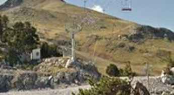
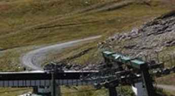
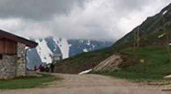
Le Lac
Le Lac is a chairlift at an elevation of 2.487m (8,159ft) above the sea level, located in the Alpes-de-Haute-Provence department in the Provence-Alpes-Côte d'Azur region of southeastern France.
Col de la Petite Forcle
Col de la Petite Forcle is a high mountain pass at an elevation of 2.481m (8,139ft) above the sea level, located in the Graian Alps, in the Savoie department in the Auvergne-Rhône-Alpes region in south-eastern France.
A scenic road to Col de Saint-Barnabé in the French Alps
Col de Saint-Barnabé is a mountain pass at an elevation of 1.368m (4,488ft) above the sea level located in the Alpes-de-Haute-Provence department, in the region of Provence-Alpes-Côte d'Azur in southeastern France.
Col de Malabergue
Colle Malaberghe is a high mountain pass at an elevation of 2.225m (7,299 ft) above the sea level, located in the Cottian Alps, between France and Italy.
Col de Jaffueil
Col de Jaffueil is a high mountain pass at an elevation of 2.494m (8,182ft) above the sea level, located in the Hautes-Alpes department in southeastern France.
Col de l'Aiguille
Col de l'Aiguille is a high mountain peak at an elevation of 2.606m (8,549ft) above the sea level, located in the Savoie department in the Auvergne-Rhône-Alpes region in south-eastern France.
Pointe de Pastourlet
Pointe de Pastourlet is a high mountain pass at an elevation of 2.313m (7,588ft) above the sea level, located in the Hautes-Alpes department in southeastern France.
Crete de la Soumaye
Crete de la Soumaye is a high mountain peak at an elevation of 2.348m (7,703ft) above the sea level, located in Saint-Lary-Soulan, a commune in the Hautes-Pyrénées department in south-western France.