What are the most spectacular roads in France?
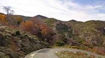
France is a true paradise for those wishing to experience the most spectacular roads, and it provides endless experiences for each driver. From stunning balcony roads, mountain passes, and coastal drives, to roads disappearing with the tides, it hosts more than 750 roads listed as the most spectacular in the world.
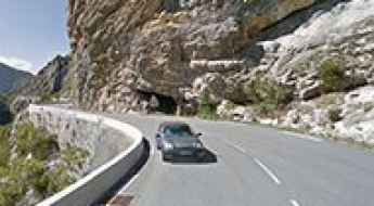
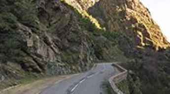
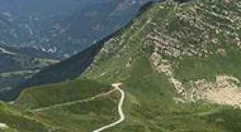
Located in the western part of Europe, France covers an area of 551,695 square kilometers and shares borders with 7 countries: Belgium, Luxembourg, Germany, Switzerland, Italy, Spain, and Andorra. With high mountains in the Alps and the Pyrenees, the roads of the country are famous worldwide because of the Tour de France, the most important cycling race. When traveling to the country, be sure to experience a drive through the best balcony roads. Dramatically carved out of rock on the side of mountains, the balcony roads are a unique experience for any rider.
The country also hosts iconic roads, known worldwide, including Col du Chaussy, a mountain pass at 1,533m (5,029ft) above sea level, famous for the “Lacets de Montvernier,” a special 3 km stretch with 17 hairpins as the road virtually climbs a cliff, or Col de Turini, a treacherous Alpine road with a legendary driving history, as one of the most dangerous and challenging stages of the Monte Carlo Rally and one of the most scenic drives in the world. For those preferring another kind of experience, don’t forget to drive Passage du Gois, the tide-covered road. It’s a natural passage flooded twice a day by the high tide leading to the island of Noirmoutier.
Pêne Det Pouri
Pêne Det Pouri is a high mountain peak at an elevation of 2.030m (6,660ft) above the sea level, located in the department of Hautes-Pyrénées in France.
Pas de Colle Longue
Pas de Colle Longue is a high mountain pass at an elevation of 2.441m (8,008ft) above the sea level, located in the Alpes-Maritimes, on the Italian-French border.
Col de Pradel
Col de Pradel is a mountain pass at an elevation of 1.287m (4,222ft) above the sea level, located in the French Pyrenees.
Tête du Pré des Saix
Tête du Pré des Saix is a high mountain pass at an elevation of 2.107m (6,912ft) above the sea level, located in the Haute-Savoie department in the Rhône-Alpes region in south-eastern France.
Moucherotte
Moucherotte is a high mountain peak at an elevation of 1.863m (6,112ft) above the sea level, located in the Auvergne-Rhône-Alpes region of southeastern France.
Clue de Rouaine
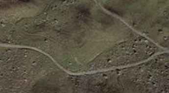
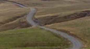
Located in the Alpes-de-Haute-Provence department in southeastern France, the Clue de Rouaine is a very picturesque drive on an unrivalled location in the midst of grandiose scenery.
Pas de l'Escalier
Pas de l'Escalier is a high mountain pass at an elevation of 1.907m (6,256ft) above the sea level, located in the Ariège department in the Occitanie region of south-western France.
Mont Mirantin
Mont Mirantin is a high mountain pass at an elevation of 2.058m (6,751ft) above the sea level, located in the Savoie department in the Auvergne-Rhône-Alpes region in south-eastern France.
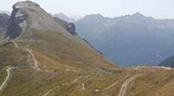
Les Cretes
Les Cretes is a high mountain peak at an elevation of 2.655m (8,710ft) above the sea level, located in the Hautes-Alpes department in southeastern France. It’s one of the highest mountain roads of the country.
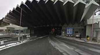
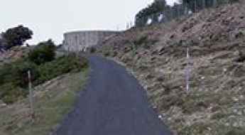
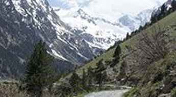
Tunnel du Mont-Blanc is an Engineering Marvel Connecting France and Italy in the Alps
The Tunnel du Mont-Blanc, located on the French-Italian border within the Alps, is one of the most significant engineering feats of the 20th century. The tunnel runs beneath Mont Blanc, the highest mountain in Western Europe.
Col de Chanrossa
Col de Chanrossa is a high mountain pass at an elevation of 2.545m (8,349ft) above the sea level, located in the Savoie department in the Auvergne-Rhône-Alpes region in southeastern France.
Col de la Crouzette
Col de la Crouzette is a mountain pass at an elevation of 1.219m (3,999ft) above the sea level, located in the French Pyrenees.
Col Sud des Lacs
Col Sud des Lacs is a high mountain pass at an elevation of 2.484m (8,149ft) above the sea level, located in the Savoie department in the Rhône-Alpes region in south-eastern France.
Pic du Néoulous
Pic du Néoulous is a mountain peak at an elevation of 1.251m (4,104ft) above the sea level, located between France and Spain. The average gradient is 10.55%.
Col de Frejus
Col de Frejus is a high mountain pass at an elevation of 2.474m (8,116ft) above the sea level, located in the Hautes-Alpes department in southeastern France.
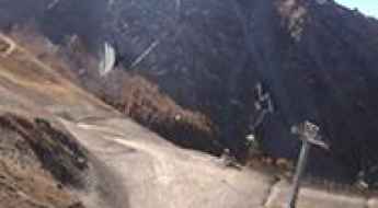
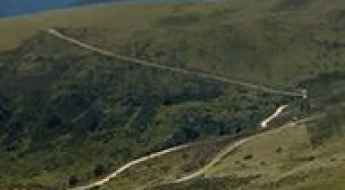
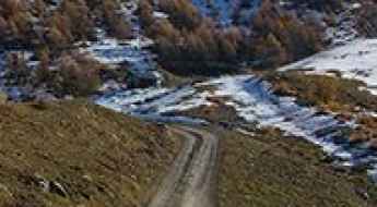
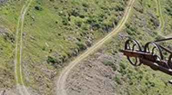
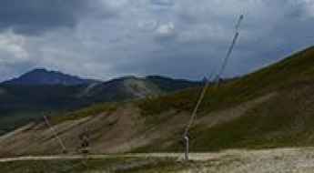
Ski Resort La Norma
La Norma is a ski resort, located in the Savoie department in the Auvergne-Rhône-Alpes region in south-eastern France. A chairlift access gravel trail climbs up to 2.584m (8,477ft) above the sea level.
D428 is a balcony road through Vallon de Pierlas
Vallon de Pierlas is the name of a very scenic valley located in the Alpes-Maritimes department, in the Provence-Alpes-Côte d'Azur region of southeastern France. It's one of the famous French balcony roads.
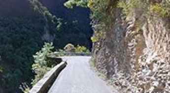
Taking on the Twists and Turns of Défilé de l'Inzecca
Défilé de l'Inzecca is a very scenic canyon located in the Haute-Corse department of France on the island of Corsica.
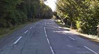
If you love to drive, you will love the pretty D26 road
D26 is the name of a curvy steep road located in the Corse-du-Sud department of France on the island of Corsica.
Road trip guide: 26 hairpin turns to Pas de l’Escous
Pas de l’Escous is a mountain pass at an elevation of 1.012m (3,320ft) above the sea level, located in the Alpes-Maritimes department in the region Provence-Alpes-Côte d'Azur, in France.
Lac d'Aubert
Lac d'Aubert is a high mountain lake at an elevation of 2.163m (7,096ft) above the sea level, located in Hautes-Pyrénées, a department in southwestern France. It is part of the Midi-Pyrénées region.
Fort Pepin
Fort Pepin is a military fortress at an elevation of 2.278m (7,473ft) above the sea level, located in the Alpes-Maritimes department in southeastern France, near the Italian border.
Refuge du Grand Plan
Refuge du Grand Plan is a high mountain refuge at an elevation of 2.310m (7,578ft) above the sea level, located in the Savoie department in the Auvergne-Rhône-Alpes region in southeastern France.
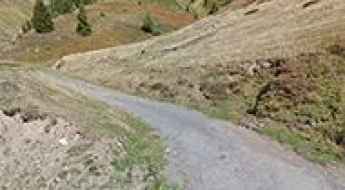
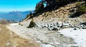
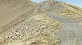
Les Mandettes
Les Mandettes is a high mountain road located in in the department of Hautes-Alpes, in the Dauphiné Alps, a mountain range in southeastern France. The average gradient is 11.06%.
Balcon du Bozelet
Balcon du Bozelet is a high mountain restaurant at an elevation of 2.411m (7,910ft) above the sea level, located in the Graian Alps, in the Savoie department in the Auvergne-Rhône-Alpes region in south-eastern France.
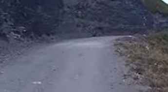
The wild road to Bocca di Chiralba in Corsica
Bocca di Chiralba is a high mountain peak at an elevation of 1.749m (5,738ft) above the sea level, located in the Corse-du-Sud department of France on the island of Corsica. It’s one of the highest roads of Corsica.
Bocca di Vizzavona
Col de Vizzavona is a mountain pass at an elevation of 1.168m (3,832ft) located in the Haute-Corse department of France on the island of Corsica.
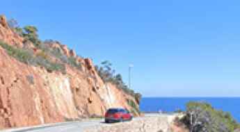
Corniche de l’Esterel is a classic coastal route in France
Corniche de l’Esterel is a classic coastal route located in the Provence-Alpes-Côte d'Azur region of France.
Col de Vernant
Col de Vernant is a high mountain pass at an elevation of 1.967m (6,453ft) above the sea level, located in the Haute-Savoie department in the Rhône-Alpes region in south-eastern France.
Col de Terre Nère
Col de Terre Nère is a high mountain pass at an elevation of 2.270m (7,447ft) above the sea level, located in the Pyrenees, a range of mountains in southwest Europe that forms a natural border between France and Spain.
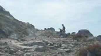
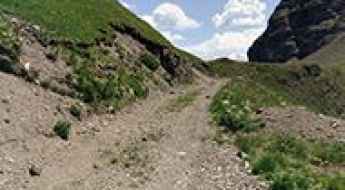
Guide to the Mines de Bentaillou
Anciennes mines du Bentaillou is a zinc and silver-bearing abandoned mine at an elevation of 1.875m (6,151ft) above the sea level, located in the Ariège department in southwestern France, near the Spanish border.
Col Pelouse
Col Pelouse is a high mountain pass at an elevation of 2.261m (7,417ft) above the sea level, located in the Haute-Savoie department in the Auvergne-Rhône-Alpes region in southeastern France.
Lac de la Blanche
Lac de la Blanche is a high mountain lake at an elevation of 2.501m (8,205ft) above the sea level, located in the Hautes-Alpes department in southeastern France.
Tossa del Pas dels Lladres
Tossa del Pas dels Lladres is an international high mountain pass at an elevation of 2.621m (8,599ft) in the Pyrenees, on the French-Spanish border.
Col de Riondet
Col de Riondet is a high mountain pass at an elevation of 2.409m (7,903ft) above the sea level, located in the Massif de la Vanoise range, in Savoie department, in the Auvergne-Rhône-Alpes region of the French Alps.
Col du Fornet
Col du Fornet is an international high mountain pass on the French-Swiss border atop the ski slopes above Avoriaz at an elevation of 2.245m (7,365ft) above the sea level.
Setaz des Pres
Sétaz des Près is a high mountain peak at an elevation of 2.314m (7,591ft) above the sea level, located in the Savoie department in the Auvergne-Rhône-Alpes region in south-eastern France.
Station de Ski Ghisoni
Located at the foot of the Monte Renosu, in the Haute-Corse department of France on the island of Corsica, the Ghisoni ski resort sits at an elevation of 1.672m (5,485ft) above the sea level.
Le Gros Villan, one of the steepest tracks in the world
Le Gros Villan is a high mountain peak at an elevation of 2.522m (8,274ft) above the sea level, located in the Savoie department in the Auvergne-Rhône-Alpes region in south-eastern France.
Col de Barteaux
Col de Barteaux is a high mountain pass at an elevation of 2.384m (7,821ft) above the sea level, located in the Hautes-Alpes department in southeastern France.
Travel Guide to Lac de Gaube in the Pyrénées
Lac de Gaube is a high mountain lake at an elevation of 1.734m (5,688ft) above the sea level, located in the Hautes-Pyrénées department and the region of Occitanie in south-western France.
Collade de la Roquette
Collade de la Roquette is a high mountain pass at an elevation of 2.076m (6,811ft) above the sea level, located in the Pyrénées-Orientales department in southern France, near the border with Spain and the Autonomous Community of Catalonia.
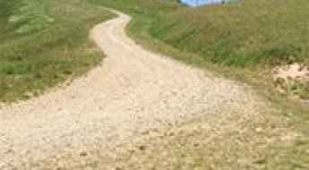
Blayeul
Blayeul is a high mountain peak at an elevation of 2.172m (7,125ft) above the sea level, located in the Alpes-de-Haute-Provence department in southeastern France. The average gradient is 10.03%, with some sections up to 20%.
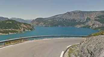
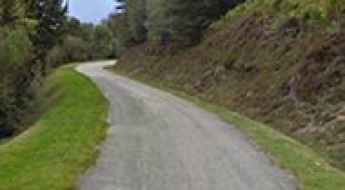
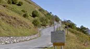
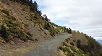
Road D954
D954 is a very scenic drive in the heart of the Alpes-de-Haute-Provence department in southeastern France. This road overlooks the blue Lac de Serre-Ponçon lake from above, and has some beautiful views.
Col des Saulces
Col des Saulces is a high mountain pass at an elevation of 2.456m (8,057ft) above the sea level, located in the Savoie department in the Auvergne-Rhône-Alpes region in southeastern France.