An epic enthralling road to Shakhristan Pass
Shakhristan Pass (Pereval Shakhristan) is a high mountain pass at an elevation of 2.751m (9,025ft) above the sea level, located in the north west part of Tajikistan.

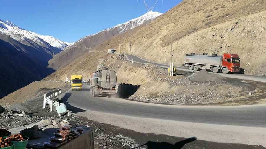
A paved road to Shakhristan Pass

The road to the summit is totally paved. It’s called M34 highway. It’s a pretty challenging mountain road. It is narrow in parts with no protections and dangerous drop offs. The drive is difficult and dangerous through steep mountain passes on hairpin turns. The pass is the highest point on the M34 highway. The pass is typically open all year round, with the occasional closure in winters due to dangerous weather conditions. Expect fog and rain often and snow on winters.
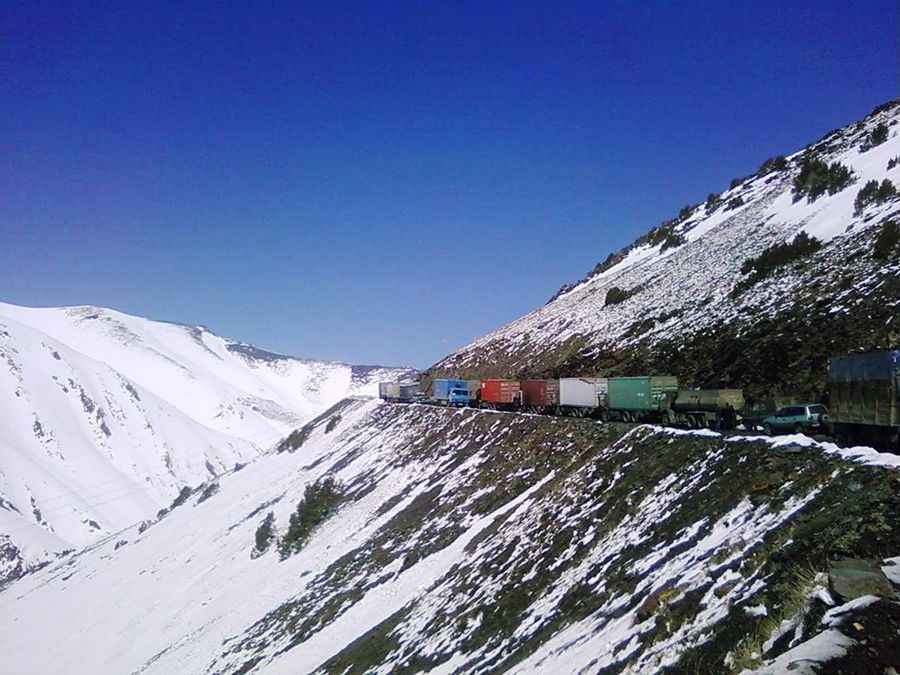
A gravel road to the real Shakhristan Pass

Before the construction of the M34, a gravel road climbed to the real summit of the pass at 3.382m (11,095ft) above the sea level, set high on the Tajikistan-Uzbekistan border. The old road to the summit is still drivable. 4x4 vehicles only. This road is usually impassable from late October through late June or early July (depending on snow). The road is very steep, hitting a 10% of maximum gradient through some of the ramps. Starting at the paved M34, the ascent is 9.0 km (5.59 miles) long. Over this distance the elevation gain is 640 meters. The average gradient is 7.11%.
Pics: Danielzolli; IJsbrand H. de jong; Wojtek Tylcz