What are the most spectacular roads in Italy?
Located in the southern part of Europe, Italy is a dream for drivers as it hosts the mountain passes (the Alps), coastal drives (Adriatic, Ionian, Tyrrhenian, and Ligurian), and some of the most famous scenic routes in the world.
Choosing only a few roads to drive in the country is nearly impossible, as there are about 600 spectacular routes. Stelvio Pass is Europe's most famous road. At an elevation of 2,757m (9,045ft) above sea level, the pass is located in the northern part of the country. It's one of the highest roads in Europe. Featuring 48 hairpin turns, the road through the summit is a marvel of engineering.
If you prefer coastal drives, you must experience the breathtaking Amalfi Coast Road. The road follows the shoreline from Sorrento south to Salerno. The road has been featured in films since cameras started rolling at 24 frames per second. If you want to feel like James Bond, don’t skip Strada della Forra. A small car with a functioning horn is recommended. For skilled drivers only. The drive is known by motorcyclists from all over Europe, as it is impressive and not without danger in a few narrow and steep spots. If you prefer roads with a story, don’t miss the Strada delle 52 Gallerie, a WWI military mule road. Built on the massif of Pasubio, it was constructed in this position to stay away from Austro-Hungarian artillery fire.
Monte La Mula
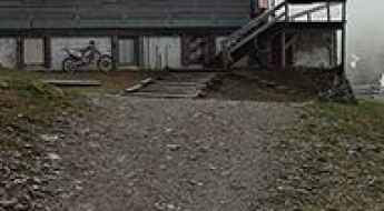
Monte La Mula is a high mountain peak at an elevation of 1.934m (6,345ft) above the sea level, located in the Calabria region of southern Italy.
Mutegg
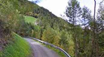
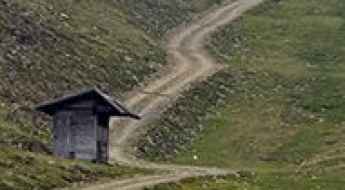
Mutegg is a high mountain peak at an elevation of 2.624m (8,608ft) above the sea level, located in Italy’s South Tyrol region. It’s one of the highest roads of the country.
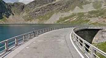
Lago Agnel
Lago Agnel is a high mountain reservoir at an elevation of 2.332m (7,650ft) above the sea level, located in the Province of Turin in the Italian region Piedmont.
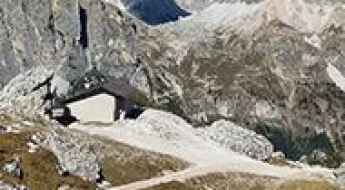
Fronza alle Coronelle Refuge
Rifugio Fronza alle Coronelle - Kölner Hütte is a high mountain refuge at an elevation of 2.341m (7,680ft) above the sea level, located in the province of South Tyrol in northeastern Italy.
Malga di Pinalto
Malga di Pinalto (Penaud Alm) is a high mountain peak at an elevation of 2.328m (7,637ft) above the sea level, located in South Tyrol, northern Italy.
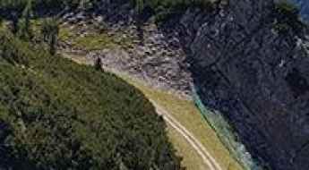
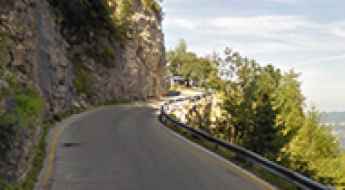
SR251, the road of the megatsunami
Strada Regionale 251 is a scenic road located on the border between Veneto and Friuli Venezia Giulia, in northern Italy.
Doss dei Gembri
Doss dei Gembri is a high mountain peak at an elevation of 2.520m (8,267ft) above the sea level, located in the northern Italian region Trentino-Alto Adige/Südtirol.

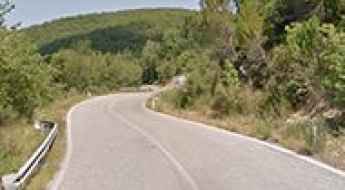
Strada Ascea-Marina di Campagna
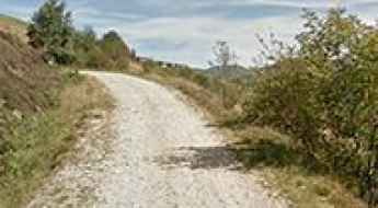
Strada Ascea-Marina di Campagna is an amazing and exciting journey in the Campania region, in southwestern Italy. The road offers stunning views of the Tyrrhenian Sea.
Picco Palù-Großer Moosstock
Picco Palù is a high mountain peak at an elevation of 2.490m (8,169ft) above the sea level, located in the Italian province of South Tyrol.
Barbacana Pass
Passo Barbacana is an international high mountain pass at an elevation of 2.180m (7,152ft) above the sea level in the Alpes-Maritimes, located on the Italian-French border. The pass is reachable by motor vehicles on the Italian side. On the French side it’s just a walking path.
Averau Refuge
Rifugio Averau is a high mountain refuge at an elevation of 2.418m (7,933ft) above the sea level, located in the province of Belluno in Italy.
Corna Pass
Passo della Corna (Pas de la Corne) is an international high mountain pass at an elevation of 1.046m (3,431ft) above the sea level, located on the Italian-Franch border.
Genova-Schlüterhütte Refuge
Rifugio Genova-Schlüterhütte is a high mountain hut at an elevation of 2.304m (7,559ft) above the sea level, located in South Tyrol in northern Italy.

SP22 Road, a sensational drive in Calabria
Strada Provinciale 22 is a very scenic high mountan road located in the heart of the province of Catanzaro of the Calabria region of Italy.
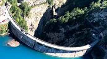
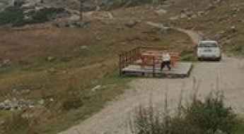
How To Travel The Challenging Diga della Maina
Diga della Maina is the name of a narrow high dam located in the province of Udine, in Friuli-Venezia Giulia, in Italy. It’s one of the most spectacular bridges in the world.
Pulpito Refuge
Rifugio Pulpito is a high mountain refuge at an elevation of 2.354m (7,723ft) above the sea level, located in the Ortler Range, in South Tyrol, in northern Italy.
Col di Tsomioy
Col di Tsomioy is a high mountain pass at an elevation of 2.464m (8,083ft) above the sea level, located in the Valle d’Aosta region, in northwestern Italy.
Collalunga Pass
Passo di Collalunga is a high mountain pass at an elevation of 2.441m (8,008ft) above the sea level, located in the Alpes-Maritimes, on the Italian-French border.
Pomedes Refuge
Rifugio Pomedes is a high mountain refuge at an elevation of 2.303m (7,555ft) above the sea level, located in the heart of the southern Alps in the Veneto region of Northern Italy.
Chalet de l'Épée Refuge
Rifugio Chalet de l'Épée is a high mountain refuge at an elevation of 2.383m (7,818ft) above the sea level, located in the Aosta Valley region of north-western Italy.
Colle Birrone
Colle Birrone is a high mountain pass at an elevation of 1.699m (5,574ft) above the sea level, located in the Province of Cuneo in northwest Italy.
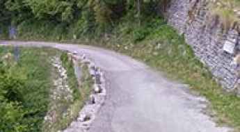
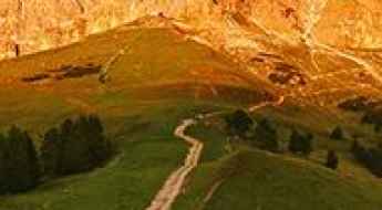
Strada degli Alpini
Strada degli Alpini is the name of the sharply winding and precipitous ascent in a steep and narrow zig-zag road located in the Province of Treviso, in the Italian region Veneto.
Col du Mont
Col du Mont is a high mountain pass at an elevation of 2.169m (7,116ft) above the sea level, located in the Aosta Valley region of north-western Italy.
Colle Rastcias
Colle Rastcias is a high mountain pass at an elevation of 2.176m (7,139ft) above the sea level, located in the Province of Cuneo in northwest Italy.
Santa Croce di Lazfons Refuge
Rifugio Santa Croce di Lazfons-Schutzhaus Latzfonserkreuz is a high mountain refuge at an elevation of 2.316m (7,598ft) above the sea level, located in the South Tyrol province of north Italy.
Cimetta Rossa
Cimetta Rossa is a high mountain peak at an elevation of 2.499m (8,198ft) above the sea level, located in the Valle d’Aosta region, in northwestern Italy.
Driving the impossible turns on the Val Mara Road
Val Mara Road is the name of a challenging drive running across the border of Switzerland and Italy, to the south of Lago di Lugano.
Monte Fana-Pfannspitze
Monte Fana is a high mountain peak at an elevation of 2.502m (8,208ft) above the sea level, located in the Trentino-South Tyrol region of Italy.
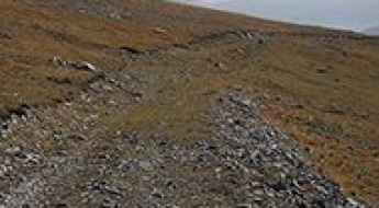
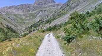
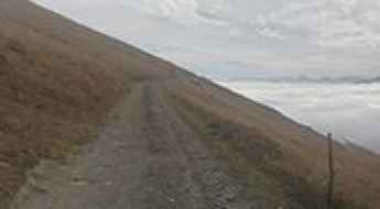
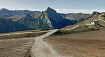
Driving the wild unpaved road to Punta di Verzel
Punta di Verzel is a high mountain peak at an elevation of 1.871m (6,138ft) above the sea level, located in the Italian region Piedmont.
Col Rodella
Col Rodella is a high mountain peak at an elevation of 2.462m (8,077ft) above the sea level, located in Val di Fassa, in South Tyrol in northern Italy.
Passo Vezzena
Passo Vezzena is a mountain pass at an elevation of 1.402m (4,599ft) above the sea level, located in Trentino in the northern Italian region Trentino-Alto Adige/Südtirol.
Travel guide to Kesselberghütte
Kesselberghütte is a mountain cabin at an elevation of 2.299m (7,542ft) above the sea level, located in Italy’s South Tyrol region.

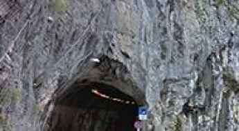
Ceresole Tunnel is the steepest tunnel in the Italian Alps
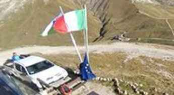
Located in the Metropolitan City of Turin in the Italian region Piedmont, Ceresole Tunnel is said to be the steepest tunnel in the Alps, with gradients of around 14-16%.
Strada Provinciale 64 (SP64) is the road that has it all in the Veneto
Strada Provinciale 64 (SP64) is a highly challenging mountain road located in the province of Vicenza, Italy. This road offers jaw-dropping views, unparalleled freedom, and lots of fresh air.
The Best Romantic Italian Roads
Known as one of the most romantic locations worldwide, a road trip through Italy will leave you and your partner is gushing and deeper in love than ever.You should visit each of these roads while in Italy. Not only will the beauty and scenery leave you and your partner in awe, but the long drive will also allow both of you to spend more time with each other and to learn more about yourselves.
The epic unpaved road to Col dei Rossi in the Dolomites
Col dei Rossi is a high mountain peak at an elevation of 2.371m (7,778ft) above the sea level, located in Trentino in the region Trentino-Alto Adige/Südtirol, in Italy.