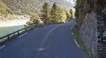
What are the most spectacular roads in France?
France is a true paradise for those wishing to experience the most spectacular roads, and it provides endless experiences for each driver. From stunning balcony roads, mountain passes, and coastal drives, to roads disappearing with the tides, it hosts more than 750 roads listed as the most spectacular in the world.
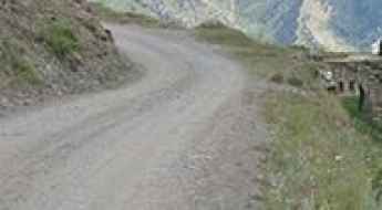
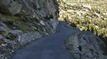
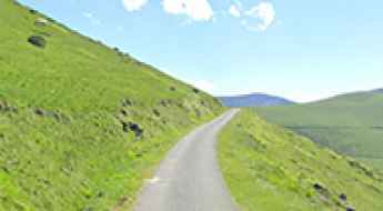
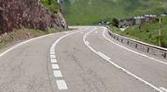
Located in the western part of Europe, France covers an area of 551,695 square kilometers and shares borders with 7 countries: Belgium, Luxembourg, Germany, Switzerland, Italy, Spain, and Andorra. With high mountains in the Alps and the Pyrenees, the roads of the country are famous worldwide because of the Tour de France, the most important cycling race. When traveling to the country, be sure to experience a drive through the best balcony roads. Dramatically carved out of rock on the side of mountains, the balcony roads are a unique experience for any rider.
The country also hosts iconic roads, known worldwide, including Col du Chaussy, a mountain pass at 1,533m (5,029ft) above sea level, famous for the “Lacets de Montvernier,” a special 3 km stretch with 17 hairpins as the road virtually climbs a cliff, or Col de Turini, a treacherous Alpine road with a legendary driving history, as one of the most dangerous and challenging stages of the Monte Carlo Rally and one of the most scenic drives in the world. For those preferring another kind of experience, don’t forget to drive Passage du Gois, the tide-covered road. It’s a natural passage flooded twice a day by the high tide leading to the island of Noirmoutier.
Road Trip Guide: Conquering Col des Ruillans in the Hautes-Alpes
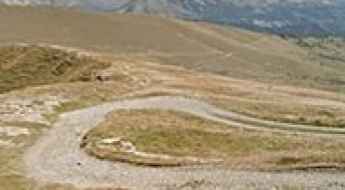
Col des Ruillans is a high mountain peak with an elevation of 3,231m (10,600ft) above sea level, located in the Hautes-Alpes department of France. It’s one of the highest roads in Europe.
An Iconic Road to Col du Joly in the French Alps
Col du Joly is a high mountain pass at an elevation of 1,989m (6,525ft) above sea level, located in the Rhône-Alpes region of France.
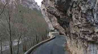
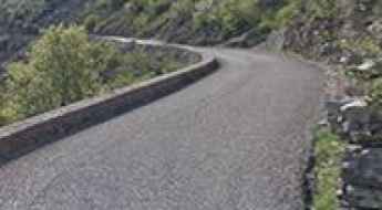
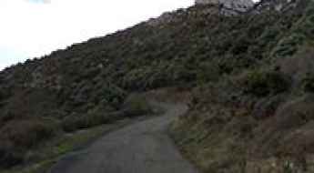
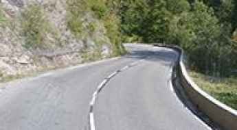
Les Détroits - D907BIS: A Balcony Road in France
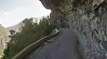
Located in the Lozère department of France, the road through Les Détroits offers a thrilling driving experience. It’s one of the famous French balcony roads.
A Fantastic Road to Col des Saisies, with Great Views of Mont Blanc
Col des Saisies is a high mountain pass with an elevation of 1,657m (5,436ft) above sea level, located in the Savoie department of France. The pass is traversed by the scenic Route des Grandes Alpes.
A sensational road to Lac de Fabreges in the Pyrenees
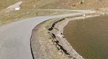
Lac de Fabrèges is a mountain lake at an elevation of 1.241m (4,072ft) above sea level, located in the Pyrénées-Atlantiques department of France.
Driving a Balcony Road Through Cirque de Navacelles in France
Cirque de Navacelles is a deep, steep-sided canyon straddling the Hérault and Gard departments in France. It’s one of the most famous French balcony roads.
An iconic road to Col Saint Martin in the Alpes-Maritimes
Col Saint Martin is a high mountain pass at an elevation of 1,500 m (4,921 ft) above sea level, located in the Alpes-Maritimes department of France. The pass is traversed by the scenic Route des Grandes Alpes.
How to Get by Car to the Abandoned Haut Asco Ski Resort in Corsica
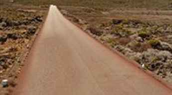
Station de Ski du Haut Asco is an abandoned ski resort at an elevation of 1,509m (4,950ft) above sea level, located in Corsica, a French island in the Mediterranean Sea. It’s one of the highest roads in Corsica.
A military road to the summit of Col de la Boaire
Col de la Boaire-Colle della Boaria is an international high mountain pass at an elevation of 2.102m (6,896ft) above sea level, located on the border of France and Italy.
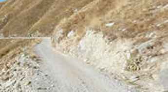
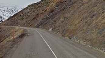
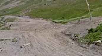
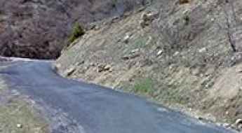
The Road to Col de Viraysse: No Turning Back If You Change Your Mind
Col de Viraysse is a high mountain pass at an elevation of 2,746m (9,009ft) above sea level, located in the Alpes-de-Haute-Provence department of France. The road is extremely narrow, and the drop-offs can be quite intimidating. There’s only enough room for one car to go up, and there’s no option to turn around if you change your mind. It’s one of the highest roads in Europe.
How to get by car to Chateau de Queribus in Occitanie?
Perched high up on a rocky hill, Château de Quéribus is a castle located in the commune of Cucugnan in the Aude department of France.
An Old Military Road to the Summit of Mont Malamot in the Cottian Alps
Mont Malamot is a high mountain peak at an elevation of 2,885 m (9,465 ft) above sea level, located in the Savoie department of France. The road to the summit is permanently closed to motorized vehicles. It's one of the highest roads in Europe.
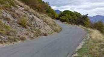
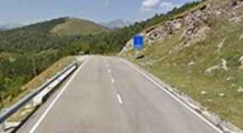
A Nice Road to Col de Valberg in the Alpes Maritimes
Col de Valberg is a high mountain pass at an elevation of 1,672m (5,475ft) above sea level, located in the Alpes-Maritimes department of France.
Col du Noyer is an iconic Tour de France climb
Col du Noyer is a high mountain pass with an elevation of 1,664m (5,459ft) above sea level, located in the Hautes-Alpes department of France.
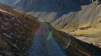
The Steep, Rough Road to Col de la Vallee Etroite is Not for the Faint of Heart
Col de la Vallée Étroite is a high mountain peak at an elevation of 2,735 m (8,973 ft) above sea level, located in the Savoie department of France. It's one of the highest roads in Europe.
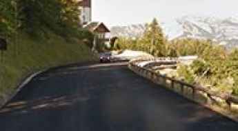
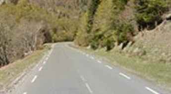
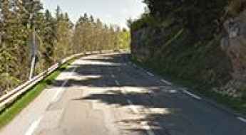
Col de Castillon is an Absolute Must for Road Lovers in the Alpes-Maritimes
Col de Castillon is a mountain pass at an elevation of 707 m (2,319 ft) above sea level, located in the Alpes-Maritimes department of France. The pass is traversed by the scenic Route des Grandes Alpes.
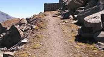
Travel Guide to the Top of Fort de la Marguerie in the Maritime Alps
Fort de la Marguerie is a high mountain fort at an elevation of 1,842 m (6,043 ft) above sea level, located in the Maritime Alps department of France.
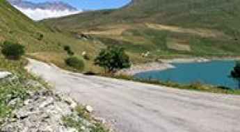
Lac de Cap-de-Long: One of the Highest Paved Roads in the French Pyrenees
Lac de Cap-de-Long is a high mountain lake located at an elevation of 2,161m (7,089ft) above sea level in the Hautes-Pyrénées department of France. It’s one of the highest paved roads in the French Pyrenees, even higher than the famous Col du Tourmalet.
How to drive the wild road to Col d'Arnosteguy between Spain and France
Col d'Arnostéguy is an international mountain pass at an elevation of 1,240m (4,068ft) above sea level, located on the Spanish-French border.
Driving the paved road to Somport Pass in the Pyrenees
Puerto de Somport-Col du Somport is an international high mountain pass at an elevation of 1.637m (5,370ft) above sea level, on the border of France and Spain.
Dare to drive the road to Mont Saccarel
Monte Saccarello-Mont Saccarel is an international high mountain peak at an elevation of 2.178m (7,145ft) above sea level, located on the French-Italian border.
How to get by car to Commerson Crater on Reunion Island?
Cratère Commerson is a volcanic crater at an elevation of 2,328m (7,637ft) above sea level, located on the eastern side of Réunion Island in the Indian Ocean.

Driving the Mythical Road to Col d'Aspin in the French Pyrenees
Col d'Aspin is a high mountain pass at an elevation of 1,489m (4,885ft) above sea level, located in the department of Hautes-Pyrénées, in France.
Col de Joux Plane is one of the six major passes of the French Alps
Col de Joux Plane is a high mountain pass at an elevation of 1,697m (5,567ft) above sea level, located in the Haute-Savoie department of France. For cyclists, it’s renowned as one of the six major passes of the French massif, alongside the Galibier, Izoard, L’Alpe d’Huez, Mont Ventoux, and the Tourmalet.
A Narrow Road to Col du Solude in the French Alps
Col du Solude is a high mountain pass at an elevation of 1,680m (5,511ft) above sea level, located in the Oisans region of France. It's one of the famous French balcony roads.
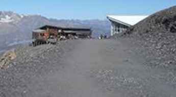
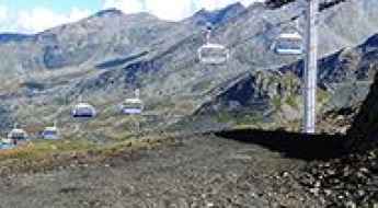
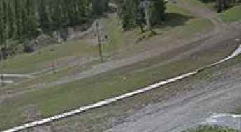
Val Thorens: One of the Longest and Biggest Climbs in France
Val Thorens is a ski resort at an elevation of 2,300m (7,545ft) above sea level, located in the Savoie department of France.
A Wild 4x4 Road to Col du Bouchet in the Massif de la Vanoise
Col du Bouchet is a high mountain peak at 3,004 m (9,855 ft) above sea level, located in the Savoie department of France. It's one of the highest roads in Europe.
Col des Gets is a classic road trip in the Alps
Col des Gets is a mountain pass at an elevation of 1.170m (3,838ft) above the sea level, located in the Haute-Savoie department of France. The pass is traversed by the scenic Route des Grandes Alpes.
A military unpaved road to Col des Gondrans in the Hautes-Alpes
Col des Gondrans is a high mountain peak at an elevation of 2,347 m (7,700 ft) above sea level, located in the Hautes-Alpes department of France.
The road to Crete de la Pendine is not for the faint of heart
Crête de la Pendine is a high mountain peak at an elevation of 2,705m (8,874ft) above sea level, located in the Hautes-Alpes department of France. It’s one of the highest roads in the country.

Travel guide to the top of Col des Ves
Col des Ves is a high mountain peak at an elevation of 2.793m (9,163ft) above sea level, located in the Savoie department of France. It’s one of the highest roads in Europe.
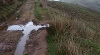
A Wild Road to Pierre-sur-Haute in the Massif Central
Pierre-sur-Haute is a mountain peak at an elevation of 1,631m (5,351ft) above sea level, located in the Auvergne-Rhône-Alpes region of France. Access to the summit is closed to private vehicles.
A 5-star road to Col d'Ares in the Pyrenees
Coll d'Ares-Col d'Ares is an international high mountain pass at an elevation of 1,513m (4,964ft) above sea level, located in the Pyrenees on the border between France and Spain.
Travel Guide to Col de Lagues
Col de Lagues is a mountain pass at an elevation of 1,408m (4,619ft) above sea level, located in the Haute-Garonne department of France.
Courage is Required to Drive to Pic de l’Herpie
Pic de l’Herpie is a high mountain peak at an elevation of 3,067m (10,062ft) above sea level, located in the Isère department of France. It’s one of the highest roads in Europe.
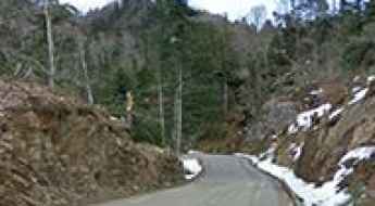
A great paved road to Col de la Faucille in the Jura Mountains
Col de la Faucille is a high mountain pass at an elevation of 1,323m (4,341ft) above sea level, located in the Ain department of France.
An old military road to Col de Mallemort
Col de Mallemort is a high mountain pass at an elevation of 2,543m (8,343ft) above sea level, located in the Alpes-de-Haute-Provence department of France.
Driving the dizzying paved road to Col du Portillon on the Spanish-French border
Col du Portillon-Coll de Portilló is an international high mountain pass at an elevation of 1,293 m (4,242 ft) above sea level, located on the border of Spain and France.
Adventure along the wild road to Col du Petit Mont Cenis
Col du Petit Mont Cenis is a high mountain pass at an elevation of 2,184m (7,166ft) above sea level, located in the Savoie department of France.
Col de l'Arpettaz: If you like hairpin turns, this is the road for you
Col de l'Arpettaz is a mountain pass at an elevation of 1,581 m (5,187 ft) above sea level, located in the Savoie department of France.
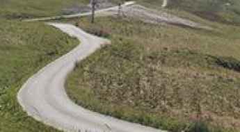
D29 is an Iconic French Balcony Road in the Aude department
The picturesque D29 is a short mountain road located in the Aude department of France. It’s one of the most scenic French balcony roads.
How to get by car to Lac des Bouillouses in the Pyrenees?
Lac des Bouillouses is a high mountain lake at an elevation of 2,016m (6,614ft) above sea level, located in the Pyrénées-Orientales department, in France.
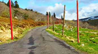
Travelling through the scenic Route de l'Authion in the Alpes-Maritimes
Route de l'Authion is a very scenic drive located in the Alpes-Maritimes department of France. Along the road, there are several forts and military ruins. The drive is highly rewarding for its scenery—provided you watch carefully where you place your wheels!
The paved road to Col de Mantet is not for the sissies
Col de Mantet is a high mountain pass at an elevation of 1,760m (5,774ft) above sea level, located in the Pyrénées-Orientales department in France. The road is incredibly narrow, with a steep, unprotected drop to one side throughout. It’s also regularly covered in snow, making it even more treacherous.
A mule track to Col d’Artzatey in the Pyrenees
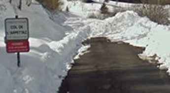
Col d’Artzatey is an international mountain pass at an elevation of 662m (2,171ft) above sea level, located on the Spanish-French border.