What are the most spectacular roads in France?
France is a true paradise for those wishing to experience the most spectacular roads, and it provides endless experiences for each driver. From stunning balcony roads, mountain passes, and coastal drives, to roads disappearing with the tides, it hosts more than 750 roads listed as the most spectacular in the world.
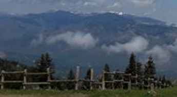
Located in the western part of Europe, France covers an area of 551,695 square kilometers and shares borders with 7 countries: Belgium, Luxembourg, Germany, Switzerland, Italy, Spain, and Andorra. With high mountains in the Alps and the Pyrenees, the roads of the country are famous worldwide because of the Tour de France, the most important cycling race. When traveling to the country, be sure to experience a drive through the best balcony roads. Dramatically carved out of rock on the side of mountains, the balcony roads are a unique experience for any rider.
The country also hosts iconic roads, known worldwide, including Col du Chaussy, a mountain pass at 1,533m (5,029ft) above sea level, famous for the “Lacets de Montvernier,” a special 3 km stretch with 17 hairpins as the road virtually climbs a cliff, or Col de Turini, a treacherous Alpine road with a legendary driving history, as one of the most dangerous and challenging stages of the Monte Carlo Rally and one of the most scenic drives in the world. For those preferring another kind of experience, don’t forget to drive Passage du Gois, the tide-covered road. It’s a natural passage flooded twice a day by the high tide leading to the island of Noirmoutier.
Bocca de Sevi
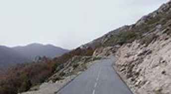
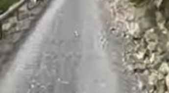
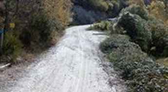
Bocca de Sevi, also known as Col de Sevi, is a mountain pass at an elevation of 1.101m (3,612ft) above the sea level, located in the Corse-du-Sud department of France on the island of Corsica.
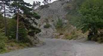
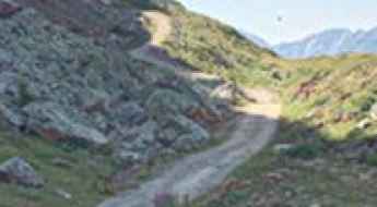
Pic de Chabrières is a Most Tricky Scenic Drive
Pic de Chabrières is a high mountain pass at an elevation of 2.701m (8,861ft) above the sea level, located in the Hautes-Alpes department in southeastern France. It’s one of the highest roads of the country.

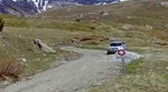
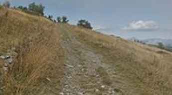
A curvy and narrow paved road to Col du Pradier
Col du Pradier is a mountain peak at an elevation of 1.450m (4,757ft) above the sea level, located in the Savoie department in the Rhône-Alpes region in south-eastern France.
Col de Saint Georges-Chalet Josserand
Col de Saint Georges-Chalet Josserand is a high mountain pass at an elevation of 2.245m (7,477ft) above the sea level, located in the Alps in the department of Hautes-Alpes in France.
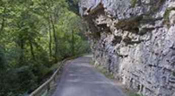
Gorges d'Omblèze, a French balcony road
Gorges d'Omblèze is a spectacular canyon carved into the limestone by La Gervanne river in the Drôme department in southeastern France. It’s one of the French balcony roads.
Col du Val d'Ese
Col du Val d'Ese is a mountain pass at an elevation of 1.615m (5,298ft) above the sea level, located between the valleys of Prunelli and Taravo, in the Corse-du-Sud department of France on the island of Corsica.
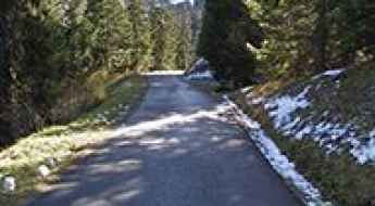
Col de Pierre Grosse
Col de Pierre Grosse is a mountain pass at an elevation of 1.322m (4,337ft) above the sea level, located in the Isère department in southeastern France.
Col du Ranfolly
Col du Ranfolly is a high mountain pass at an elevation of 1.650m (5,413ft)above the sea level, located in the Haute-Savoie department in the Rhône-Alpes region in south-eastern France.
Col du Souchet
Col du Souchet is a high mountain pass at an elevation of 2.365m (7,759ft) above the sea level, located in the Hautes-Alpes department in southeastern France.
Refugi de Marialles
Refugi de Marialles is a high mountain refuge at an elevation of 1.718m (5,636ft) above the sea level, located in the Pyrénées-Orientales department in southern France.
Les Grandes Platières
Les Grandes Platières is a high mountain pass at an elevation of 2.473m (8,113ft) above the sea level, located in the Haute-Savoie department in the Auvergne-Rhône-Alpes region in southeastern France.
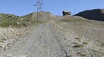
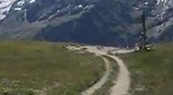
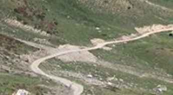
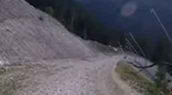
Piste de Clausis, pure adventure
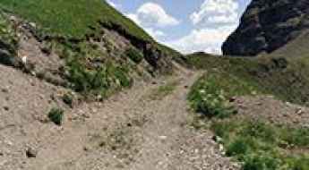
Piste de Clausis is a high mountain gravel road located in the Hautes-Alpes department in southeastern France in the Queyras Regional Natural Park. The road is 6.2km long.
Col de Saint-Alexis
Col de Saint-Alexis is a mountain pass at an elevation of 1.222m (4,009ft) above the sea level, located in the department of Drôme in southeastern France.
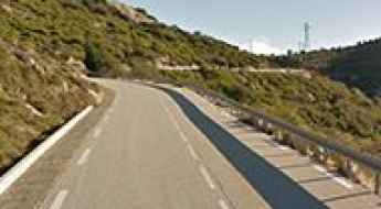
Mont Caume, a narrow and winding mountain road
Mont Caume is a mountain pass at an elevation of 801m (2,627ft) above the sea level, located in the Var department in the Provence-Alpes-Côte d'Azur region in southeastern France.
Roche Madeleine
Roche Madeleine is a high mountain pass at an elevation of 2.370m (7,775ft) above the sea level located in the French Alps, near the border with Italy, within the Mercantour National Park on the department of Alpes-de-Haute-Provence.
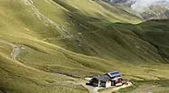
A paved road to Sanctuaire de Notre Dame de la Salette
Sanctuaire de Notre Dame de la Salette is a high mountain sanctuary at an elevation of 1.787m (5,862ft) above sea level, located in the Isère department in southeastern France.
Col de Furfande
Col de Furfande is a high mountain pass at an elevation of 2.500m (8,202ft) above the sea level, located in the Hautes-Alpes department in the Provence-Alpes-Côte d'Azur region of south-eastern France.
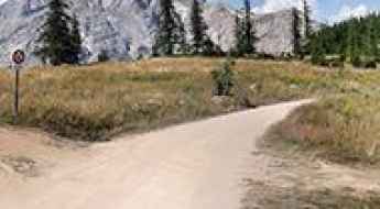
Les 12 lacets de Ceillac: a breathtaking road with 12 challenging hairpins
Located in the Hautes-Alpes department in southeastern France, Les 12 lacets de Ceillac is a collection of 12 hairpin turns on the road to the small town of Ceillac.
Col du Mont Noir
Col du Mont Noir is a mountain pass at an elevation of 1.421m above the sea level, located in the Isère department in southeastern France.
Col du Jovet
Col du Jovet is a high mountain pass at an elevation of 2.404m (7,887ft) above the sea level, located in the Savoie department in the Rhône-Alpes region in south-eastern France.
Pas de l'Âne
Pas de l'Âne is a high mountain pass at an elevation of 2.091m (6,860ft) above the sea level, located in the Savoie department in the Auvergne-Rhône-Alpes region in south-eastern France.
Fort de Roche la Croix
Fort de Roche la Croix is a high mountain military fortress at an elevation of 1.906m (6,253ft) above the sea level, located in the Alpes-de-Haute-Provence department in southeastern France.
Col de Savel
Col de Savel is a mountain pass at an elevation of 972m (3,188ft) above the sea level, located in the Alpes-Maritimes department in southeastern France.
Fort de Ronce
Fort de Ronce is a high mountain fortress at an elevation of 2.294m (7,526ft) above the sea level, located in the Savoie department in the Rhône-Alpes region in south-eastern France.
Cugnai Lift
Cugnai Lift is a chair lift for skiers at an elevation of 2.884m (9,471ft) above the sea level, located in the Savoie department of southeastern France. It's one of the highest roads of Europe.
Col de la Pertie
Col de la Pertie is a mountain pass at an elevation of 972m (3,188ft) above the sea level, located in the Drôme department in southeastern France.
Col de Menté
Col de Menté is a mountain pass at an elevation of 1.347m (4,419ft) above the sea level, located in the Haute-Garonne department in southwestern France.

Mont Tauch
The Mont Tauch is a mountain pass at an elevation of 871m (2,857ft) above the sea level, located in the Aude department in southern France.
Vallon de la Gordolasque
Vallon de la Gordolasque is a high mountain pass at an elevation of 1.689m (5,541ft) above the sea level, located in the Alpes-Maritimes department in southeastern France.
Driving through Gorges de Nouailles, a French balcony road
Gorges de Nouailles is a canyon formed by the Loue River, located in the Doubs department in the Bourgogne-Franche-Comté region in eastern France. It’s one of the famous French balcony roads.
Col de Bousson
Col de Bousson is an international high mountain pass at an elevation of 2.154m (7,066ft) above the sea level, located in the Cottian Alps, between France and Italy.
Hourquette d'Ancizan
Hourquette d'Ancizan is a high mountain pass at an elevation of 1.564m (5,131ft) above the sea level, located in the French Pyrenees in the department of Hautes-Pyrénées.
Bellevarde
Bellevarde is a high mountain peak at an elevation of 2.783m (9,130ft) above the sea level, located in the Savoie department, in the Auvergne-Rhône-Alpes region of the French Alps. It’s one of the highest roads of Europe.
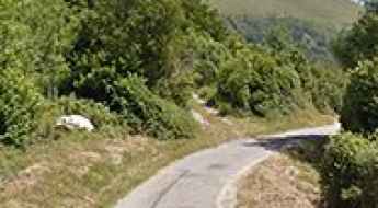
Col de Casardo
Col de Casardo is a mountain pass at an elevation of 1.093m (3,585ft) above the sea level, located in the Haute-Corse department of France on the island of Corsica.
Coll de Creu
Coll de Creu is a high mountain pass at an elevation of 1.708m (5,603ft) above the sea level, located in the Pyrenees, a range of mountains in southwest Europe that forms a natural border between France and Spain.
The unpaved road to Colle della Rho
Col de la Roue-Colle della Rho is an international high mountain pass at an elevation of 2.534m (8,313ft) above sea level located on the Italian-French border.
Col de la Pousterle
Col de la Pousterle is a high mountain pass at an elevation of 1.763m (5,784ft) above the sea level, located in the Hautes-Alpes department in southeastern France.
Pas du Roc
Pas du Roc is a high mountain pass at an elevation of 2.339m (7,673ft) above the sea level, located on the Plateau des Glieres area in Haute-Savoie department of France.
A paved curvy road to Col de Castellaras
Col de Castellaras is a mountain pass at an elevation of 1.248m (4,094ft) above sea level, located in the Alpes-Maritimes department in southeastern France.
Col de la Baume
Col de la Baume is a mountain pass at an elevation of 1.068m (3,503ft) above the sea level, located in the Alpes-de-Haute-Provence department in southeastern France.
Col de la Vanoise
Col de la Vanoise is a high mountain pass at an elevation of 2.522m (8,274ft) above the sea level, located in Savoie, France.

Col du Palet
Col du Palet is a high mountain pass at an elevation of 2.658m (8,720ft) above the sea level, located in the Savoie department in the Auvergne-Rhône-Alpes region in southeastern France. It’s one of the highest mountain roads of the country.
Col du Sappenay
Col du Sappenay is a mountain pass at an elevation of 897m (2,942ft) above the sea level, located in the Jura Mountains, in France.
Col du Lac Blanc
Col du Lac Blanc is a high mountain peak at an elevation of 2.803m (9,196ft) above the sea level, located in the Isère department in southeastern France. It’s one of the highest roads of Europe.
A challenging old military road to Cima Marta
Cima Marta is a high mountain pass at an elevation of 2.138m (7,014ft) above sea level, located in the French Ligurian Alps, near the Italian border.