A Most Tricky Scenic Drive to Abra Arcata
Abra Arcata is a high mountain pass at an elevation of 5,101m (16,735ft) above sea level, located in the Arequipa region of Peru. It's one of the highest roads in Peru.
Where Is Abra Arcata?
The pass is located south of Abra Condorillo (a mountain pass at 4,993m (16,381ft) above sea level), in the Condesuyos province, in the southwestern part of the country, within the Cotahuasi Subbasin Landscape Reserve.
Is the Road to Abra Arcata Unpaved?
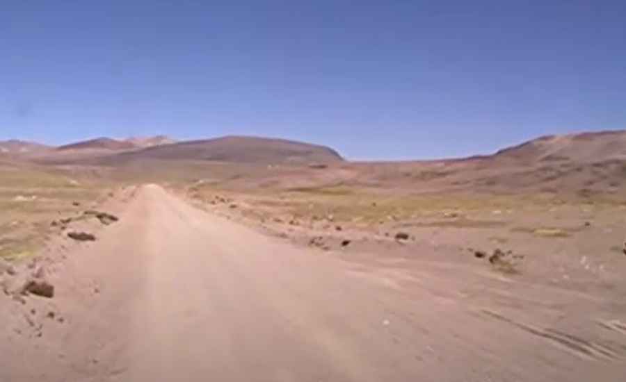
The road through the pass is completely unpaved but in good condition the whole way. It’s called AR-611. After reaching the Arcata gold and silver mine, at 4,700m above sea level, there is a very steep kilometer, but after this, it becomes a gentler and very beautiful climb up to the pass. There are some sandy sections, and the road includes hairpin turns that are pretty dangerous. It’s quite steep, though the surface is good, and the gradients are not excessively challenging. The road also crosses a section inside a mine.
How Long Is the Road Through Abra Arcata?
The road through the pass is 57km (35 miles) long, starting from Arcata. Running through multi-colored hills, you’ll experience a sense of great isolation. The views from the top are excellent, and the descent into the valley beyond the pass is fantastic.