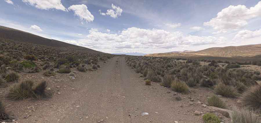
Driving one of the highest roads of South America to Tacora Volcano
Volcan Tacora is a stratovolcano located in the Arica y Parinacota Region of Chile, near the Peruvian border. A mine road near the summit tops out at 5.590m (18,339ft) above sea level. It’s one of the highest roads of South America.

Where is Tacora Volcano?
Tacora Volcano is the northernmost volcano of the country. It is situated in the Arica and Parinacota Region, near the town of General Lagos. It lies close to the border between Chile and Peru, specifically in the high Andean plateau (Altiplano) that stretches across parts of both countries.
Is Tacora an active volcano?
Part of the Andes volcanic belt, which is characterized by numerous active and dormant volcanoes, Tacora is classified as an active volcano, though it has not had a major eruption in recent times. Historical reports suggest that the volcano may have erupted in the 19th century, and fumarolic activity (emission of gases from the crater) continues to be observed at its summit. There are many sulfur mines in the saddle between Tacora and Chupiquiña, and hot springs are located on the eastern side of Tacora.
Is the road to Tacora Volcano unpaved?
Set high in the Andes mountain range, the mine road is totally unpaved. A conventional 4x4 vehicle is required. In 2009, a bulldozer built a road to allow the ascent to a sulfur mine, topping out at 5.590m (18,339ft) above sea level, on the way to the summit. It's one of the highest roads in Chile.
How long is the road to Tacora Volcano?
The road to the mine is extremely challenging, with countless hairpin turns and dangerous drop-offs. Starting from Chislluma, the road is 18.6 km (11.55 miles) long. Over this distance, the elevation gain is 1306 m. The average gradient is 7.02%.
Pic: Carlos Javier Silva Currieco