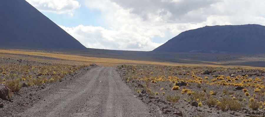
Driving the international border road to Socompa Pass in the Andes
Paso Socompa is an international high mountain pass at an elevation of 3.876m (12,716ft) above sea level, located on the Argentinian-Chilean border.

Where is Socompa Pass?
Set high in the Andes mountain range, the pass links the Antofagasta Region of Chile with the Argentine province of Salta, in the Los Andes Department. It’s one of the less-traveled high routes between Argentina and Chile.
Why is it called Socompa Pass?
The pass is named after Socompa volcano, a 6,031m giant.
Is the road through Socompa Pass unpaved?
The road through the summit is entirely unpaved in pretty bad conditions. It’s called B-55 in Chile and Ruta Provincial 163 in Argentina. Only off-road vehicles are recommended.
How challenging is Socompa Pass?
The drive is rather remote. The bad surface, a lack of water sources, zero traffic, and the heat in the desert make this a very challenging drive. The pass has been used by the Rally Dakar. At the summit, there’s an abandoned train station. The air dryness and the oscillation of temperatures that take place during the day and night are some of the features of this area. The day is warm due to direct sunlight, and nights are extremely cold.
Is Socompa Pass dangerous due to the minefields?
It’s important to stay on marked roads when traveling in this zone. Chile had tense relations with Argentina in the 1970s, and the military government decided to mine its northern border to prevent an invasion. Minefields are found in Chile’s southern border with Argentina in Patagonia. Minefields are generally marked, but markers may have shifted or may not be visible. Follow clearly identified roads and trails when traveling in minefield areas. Border crossings should only be made at authorized locations. Consult with park or other local officials concerning minefields and other hazards.
Pic: Vicky Yened