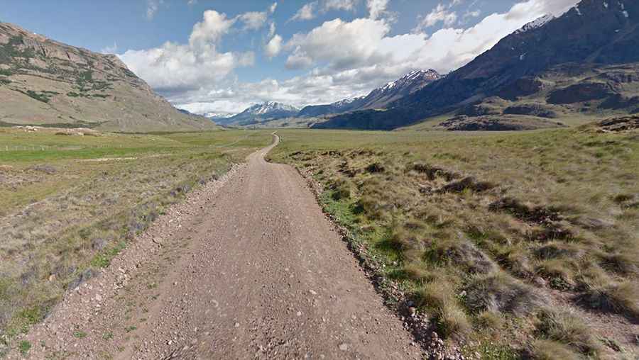
A wild road to the top of Roballos Pass
Paso Rodolfo Roballos is an international mountain pass at an elevation of 651m (2,135ft) above sea level, on the border between Chile and Argentina.

Where is Roballos Pass?
The pass links Capitán Prat Province of the Aisén Region in Chile to Bajo Caracoles, in Santa Cruz Province in southern Argentina.
Can you drive through Roballos Pass?
Set high in the Andes mountain range, the road to the summit is totally unpaved. It’s a washboard road and here and there on muddy stones. It’s called Ruta X-83 (in Chile) and Ruta Provincial Nº 41 (in Argentina).
How long is Roballos Pass?
The pass is 163 km (101 miles) long, running west-east from Cochrane (in Chile) to Bajo Caracoles (in Santa Cruz Province in Argentina). It is very good at the beginning but deteriorates (corrugations and lose gravel) as it smoothly climbs to the pass where migration offices are. Going down to Bajo Caracoles-Argentina you can ride at higher speed but corrugations are present.
How long does it take to drive through Roballos Pass?
To drive the road without stopping will take most people between 3 and 4 hours.
Is Roballos Pass open?
The connecting Chile-Argentina road through Paso Roballos is narrow and with less traffic than Chile Chico pass, to the north. The pass is open throughout the year, although occasionally closed due to big snowfalls. The weather is changeable there and difficult to predict.