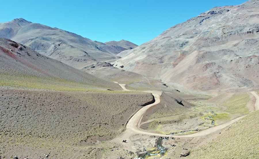
The breathtaking road to Cerro La Gitana in the Andes
Cerro La Gitana is a high mountain peak at an elevation of 4,696m (15,406ft) above sea level, located in the Coquimbo Region of Peru. It’s one of the highest roads in the country.

Where is Cerro La Gitana?
The peak is located in the central part of the country, near the border with Argentina.
Why is it called Cerro La Gitana?
The origin of its name is due to its conical shape and the intense colors of the minerals that compose it, resembling the dress of a gypsy.
Can you drive to Cerro La Gitana?
The road to the summit is entirely unpaved. It’s a mining road. Starting from Ruta 41, on the way to Agua Negra Pass, the road is 9km (5.59 miles) long. The drive is very challenging, with narrow parts, steep sections, and countless hairpin turns.
Is Cerro La Gitana open in winters?
Set high in the Andes mountain range, because of its altitude, this road is open only in summers (from December through April). The rest of the year is blocked by snow. Remember to check before you drive, as the dates are dependent on snow conditions each year. Wind and cold are the factors that must be considered.
Is the summit of Cerro La Gitana worth it?
The summit offers a privileged view of the other highest massifs in the Elqui mountain range, such as Cerro Tórtolas, Nevado de Olivares, Glaciar El Tapado, and Cerro Coquimbo.
Pic: Presi - Diário do Presi