Driving the paved Estrada Cunha-Paraty in Brazil
Cunha-Paraty Road is a very scenic paved drive located on the boundary of the state of São Paulo and the State of Rio de Janeiro, in Brazil.
How long is the Estrada Cunha-Paraty?
The road is 44.6km (27,71 miles) long, running from Cunha, a municipality in the state of São Paulo towards Paraty, a coastal village in the State of Rio de Janeiro.
Is the Estrada Cunha-Paraty paved?
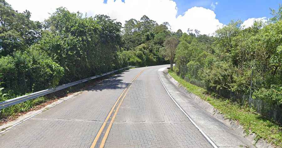
The road was completely paved in 2016 despite the pressure from environmentalists groups. The drive can be divided into three sections. The stretch 1, in the state of São Paulo, and called SP-171, is about 30 km, fully paved and signposted, with the best possible conditions. The drive is pretty busy. The section 2 (called RJ-165) is a delicious short stretch. It’s 10km on a cobblestoned surface running through the Serra da Bocaina National Park. It’s one of the highlights of the drive. The final part is about 10km long. The road narrows and the surface is poor, with a few holes.
Is the Estrada Cunha-Paraty steep?
Located within the Parque Nacional da Serra da Bocaina, the road features a few steep sections. 1st or 2nd gear will be required. The drive tops out at 1.531m (5,022ft) above the sea level.
How long does it take to drive the Estrada Cunha-Paraty?
The road can be done in just one hour (without stops). But plan more than 2 hours. The road is part of Estrada Real, also known as Caminho Velho or Caminho do Ouro. This ancient road was used in 17th century to bring minerals (especially gold) to the coast. The road is scenic, with stunning views of forests, waterfalls and peaks.
Road suggested by: Jorge Manuel Gómez Sánchez