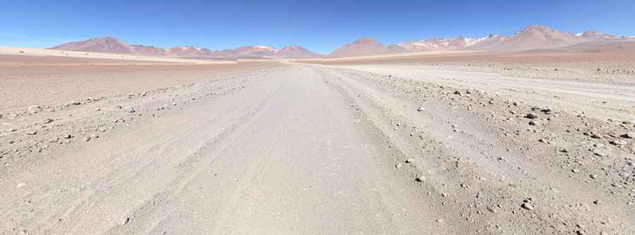
A 4x4 adventure to Condor Pass in the Salvador Dalí Desert
Paso del Condor is a high mountain pass at an elevation of 4,730m (15,518ft) above sea level, located in the Potosí Department of Bolivia. It is one of the highest roads in the country.

Where is Condor Pass?
The pass is located in the Sur Lípez Province, in the southwestern part of the country, near the border with Chile, within the Salvador Dalí Desert, also known as Dalí Valley. The desert is characterized by landscapes that resemble surrealist paintings by Salvador Dalí.
Is Condor Pass Unpaved?
The road through the pass is entirely unpaved and very sandy. A 4x4 vehicle is required. The gradient of the road when coming from Laguna Blanca is not steep, and the surface is manageable. However, the surface on the descent is worse (though if going in the opposite direction it is still easily rideable). The unique Piedras de Dalí rock formations are also not far from the road to the east.
How Long is Condor Pass?
The pass is 40km (24.85 miles) long, running north-south from Laguna Salada to Laguna Blanca. The drive offers stunning views of Lagunas Blanca and Verde and many volcanoes, including Licancabur and Juriques.
Pic: Jeremie Courtois