Cerro Sairécabur: The Ultimate Road Trip Guide
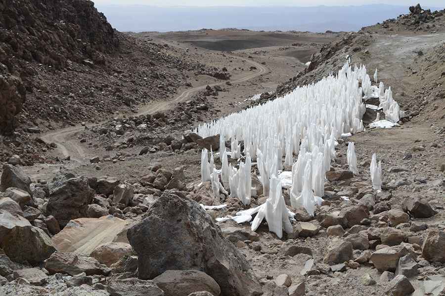
Cerro Sairécabur is a volcano at an elevation of 5.541m (18,179ft) above sea level, located on the border between Bolivia and Chile. It’s one of the highest roads in the country.

Where is Cerro Sairécabur?
Part of the Andean Central Volcanic Zone, the volcano links the Antofagasta region in northeastern Chile and the Potosí Department of Bolivia. To the east of the peak, an abandoned long mining dirt road climbs up to 5.753m (18,874ft) above sea level to a mountain outcast. It's one of the highest roads on Earth. The trip is essentially horrendous, ending at -22.725181, -67.885623.
Is the road to Cerro Sairécabur unpaved?
The road to the summit is totally unpaved. A 4x4 vehicle is required. Up to 5.400m, the surface is OK and if you’re fit and well-acclimatized it’s all rideable, but above this most people will find themselves pushing.
What’s on the summit of Cerro Sairécabur?
Set high in the Andes mountains, the summit is home to the Receiver Lab Telescope, the first ground-based radio telescope designed for operation at frequencies above 1 THz. At 5.300m of altitude, there’s a mine of sulfur. The telescope is situated at an altitude of over 5.500m.
How long is the road to Cerro Sairécabur?
The road to the summit is very steep, hitting a 13% maximum gradient through some of the ramps. It’s 19.5km (12.11 miles) long. Over this distance, the elevation gain is 1,220 meters. The average gradient is 6.25%.
What do I need to drive to Cerro Sairécabur?
All food must be taken from San Pedro, and it’s best to carry all water from there too as that on the mountain is said to be contaminated with sulfur. It is really windy and cold, and the access road to the summit is not signposted at all and quite hard to find. If you don't acclimatize for that mountain, you can get a serious altitude sickness, such as cerebral edema or pulmonary edema. Don't underestimate the volcano; it is a hard and cold climb, especially if you've never reached that altitude before. It’s one of the highest roads in South America.
Pic: Günter Wallner