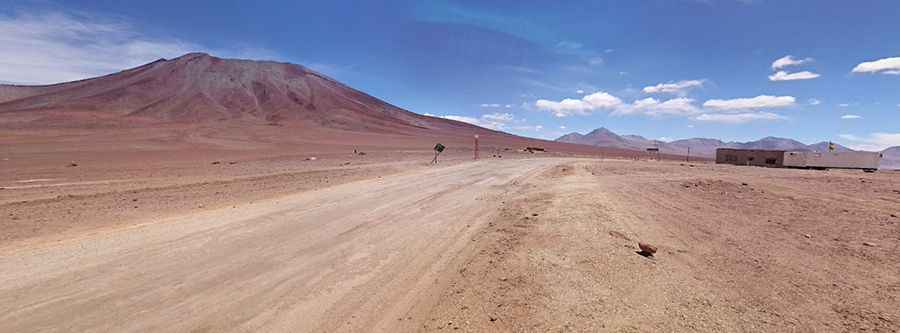
An epic road to Portezuelo del Cajon in the Andes
Portezuelo del Cajón is an international high mountain pass on the border between Chile and Bolivia, at an elevation of 4,480m (14,698ft) above sea level, located on the lower southeast flank of the Juriques volcano, in the Andes.

Where is Portezuelo del Cajón?
The pass, also known as Hito Cajón, links the Antofagasta Region of Chile and the Potosí Department of Bolivia. The Bolivian side of the border is in the Eduardo Avaroa Andean Fauna National Reserve, close to Laguna Verde and Laguna Blanca. The crossing is frequently used by tourists traveling between Uyuni and San Pedro de Atacama.
How Long is Portezuelo del Cajón?
The road through the pass is about 150 km (93 miles) long, running from San Pedro de Atacama (in northeastern Chile) to Quetena Chico (in southwestern Bolivia). It features both paved and unpaved sections.
What’s at the Summit of Portezuelo del Cajón?
Located to the north of Cerro Toco, due to its unique location and the climb in elevation over thousands of feet, and passing through remote areas, it is important to be prepared when driving in these conditions. The Bolivian Aduana is around 80 km from the actual border, right in the middle of nowhere. It’s actually situated at over 5,000m, so it will be the highest driven point for many people in their South American travels. It’s also hidden away behind a guarded barrier in a processing plant. The Chilean border post is actually another 40 km down the road at one end of San Pedro de Atacama. Check weather forecasts before leaving home, and remember that it becomes cooler and often more prone to storms at higher elevations.
Pic: Pablo Andrés C. P.