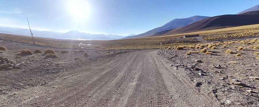
Camino al Sol de la Mañana: a challenging track to Cerro Sanabria
Cerro Sanabria is a high mountain pass at an elevation of 4.844m (15,892ft) above sea level, located in Sur Lípez Province in the Potosi Department of Bolivia.

Where is Cerro Sanabria?
The pass is located in the far southwestern part of the country, within the Eduardo Abaroa Andean Fauna National Reserve (Reserva Nacional de Fauna Andina Eduardo Abaroa).
Is the road to Cerro Sanabria unpaved?
The road to the summit is totally unpaved. It’s called Camino al Sol de la Mañana. 4x4 vehicles only. Remember this is a mountainous area, climbing up a high mountain, with a notorius absence of oxygen.
How long is Camino al Sol de la Mañana?
Camino al Sol de la Mañana is a grueling high mountain track running entirely above 4.100m above the sea level. The road is 48.6 km (30.19 miles) long running from a lagoon called Laguna Colorada to Quetena Chico, a small town.
Pic: Mathew Tildesley