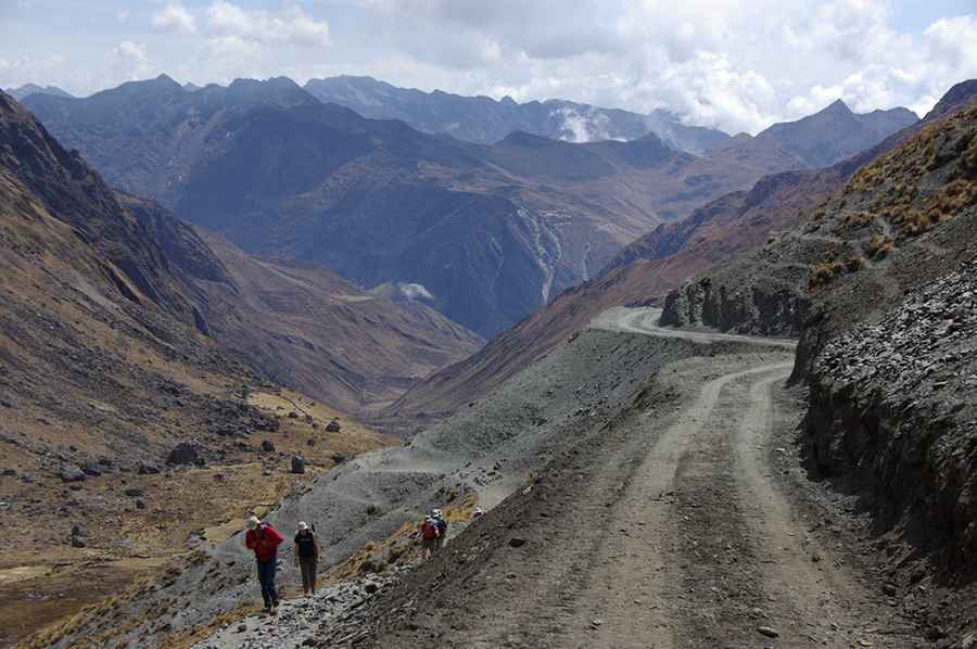
Driving the unpaved Illampu Circuit through Abra de la Calzada in the Andes
Abra de la Calzada is a high mountain pass at an elevation of 5,062m (16,607ft) above sea level, located in Larecaja Province of Bolivia. It’s one of the highest roads in the country.
Where is Abra de la Calzada?
The pass is located north of La Paz, in La Paz Department, in the eastern part of the country.
Is the road through Abra de la Calzada unpaved?
The road through the summit is totally unpaved. It’s called the Illampu Circuit. Not long ago this route was simply a mule trail, but in recent years it has been bulldozed to facilitate mining, tourism, and related exploration.
How long is the road through Abra de la Calzada?
The road is about 140km (87 miles) long, starting in Sorata. The permanent altitude between 4,000 and 5,000 meters, four passes with steep climbs, and washed-out tracks require serious acclimatization, good condition, and careful preparation.
Can I drive to Abra de la Calzada in winter?
Set high at the northern end of the Cordillera Real, in the Andes, the pass is covered in snow most of the year, so the circuit should only be tackled in good weather conditions.
Road suggested by: Hugh Wilson
Pic: Olivier Morice