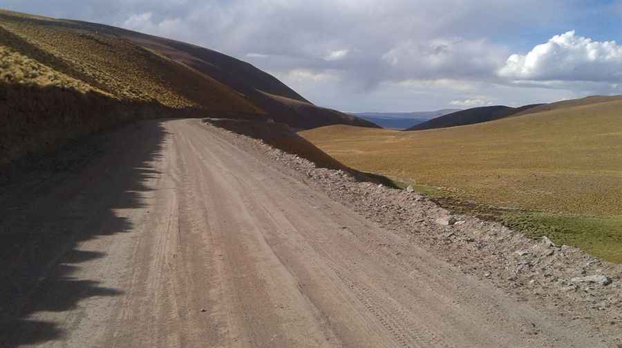
Abra del Acay is said to be the highest road pass in America
Abra del Acay is a high mountain pass at an elevation of 4.956m (16,259ft) above sea level, located in La Poma Departament, in Salta Province, in Argentina. It’s said to be the highest road pass on a national highway in the whole of America.

When was the road to Abra del Acay built?
The road to the summit was inaugurated on July 8, 1960, after three years of construction.
Is the road to Abra del Acay unpaved?
Yes, the road to the summit is part of Argentina's National Route 40, the longest road in Argentina, spanning 5,000 km (3,107 miles). The section leading to Abra del Acay is unpaved and challenging.
Is Abra del Acay the highest pass in the Americas?
At the pass, a road sign indicates an altitude of 4,895 meters. GPS readings might show slightly higher values. It is often considered the highest pass in the Americas.
How to get ready to drive to Abra del Acay?
The ascent on this narrow gravel road is intense and requires full concentration. The bends are tight, and there are perilous drops. Drivers must be cautious of strong winds. There is no cell-phone coverage outside towns, so travelers should have essential repair equipment, food, water, and fill up with fuel whenever possible. It’s one of the highest roads of Argentina.
How long is Abra del Acay?
The road is 133 km (83 miles) long, running from Payogasta to San Antonio de los Cobres. Plan about three hours to complete the drive without any stops. Sections of the road may be blocked by ice and snow during winter.
Is it worth the challenge?
The road is challenging due to its conditions, with poorly maintained surfaces and difficult weather. However, the drive offers stunning views for adventurous travelers.
Pic: Francisco Chiarella