Travel guide to the top of Abra del Infiernillo
Abra del Infiernillo is a high mountain pass at an elevation of 3,056 m (10,026 ft) above sea level, located in Argentina. It’s the highest point on all the roads in Tucumán province.

Where is Abra del Infiernillo?
The pass is located in Tucumán province, in the northwestern part of the country, within the Calchaquí Valleys area. The pass serves as the main gateway to Parque Provincial Cumbres Calchaquíes.
What’s at the Summit of Abra del Infiernillo?
At the summit, also known as Infiernillo, there is a communication tower, a restaurant with llamas, a large parking lot, and a natural viewpoint with stunning views called Mirador El Infiernillo. Expect high winds, clouds, and frequent rain.
Is the Road to Abra del Infiernillo Paved?
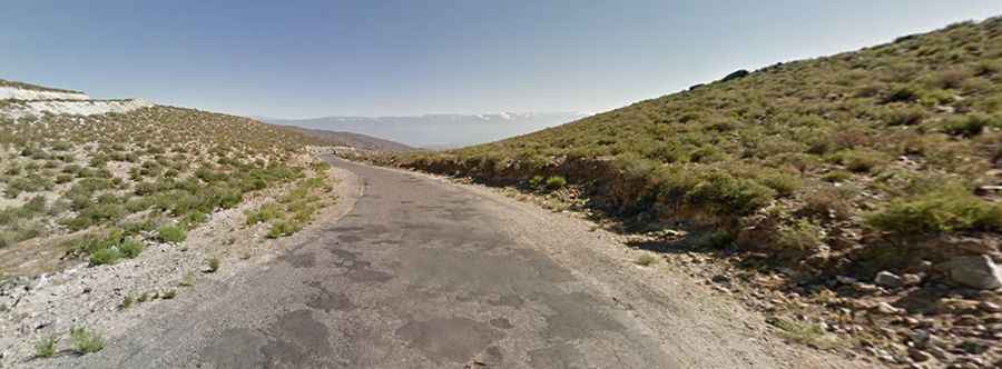
The winding road to the summit is mostly paved but in poor condition, with some narrow sections and loose gravel. It’s called RP307. Expect hundreds of turns and several hairpin bends.
How Long is the Road to Abra del Infiernillo?
The pass is 53.4 km (33 miles) long, running north-south from Amaicha del Valle (in the Tafi del Valle department, in the northwestern province of Tucumán) to the town of Tafí del Valle.