Driving the challenging Camino 6 de Septiembre to Cerro Pan de Azucar in Cordoba
Cerro Pan de Azúcar is a mountain pass at an elevation of 1,023m (3,356ft) above sea level, located in the province of Córdoba, Argentina.
Where is Cerro Pan de Azúcar?
The pass is located in the north-central part of the country, within the Sierras Chicas mountain range. At the summit, there’s a parking lot and a bar-restaurant.
Is the road to Cerro Pan de Azúcar in Córdoba paved?
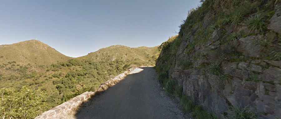
The road through the summit has paved and unpaved sections. It’s known as Ruta Provincial 54 (Camino 6 de Septiembre). This dirt track, built in 1931, is a curvy mountainous road.
How long is the road to Cerro Pan de Azúcar in Córdoba?
Located in the scenic Punilla Valley, the road through the pass is 28km (17 miles) long, running west-east from Cosquín, the oldest town in the Punilla Valley, to Villa Allende.