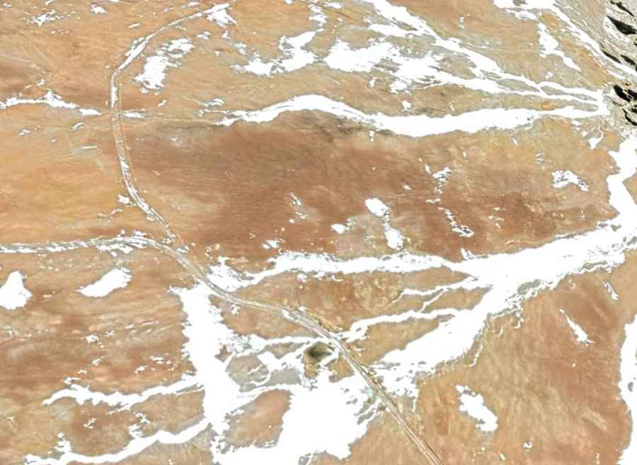
A 4x4 mine road to Cerro El Potro in the Andes
Cerro El Potro is a mountain peak at an elevation of 5.472m (17,952ft) above sea level, straddling the border between Argentina and Chile. It’s one of the highest roads of the country.

Where is Cerro El Potro?
Set high in the Andes mountain range, the peak is located on the border between the San Juan Province of Argentina and the Atacama Region of Northern Chile. In its surroundings, various indigenous ceremonial centers have been found, including some very close to the summit. An expedition in 1966 discovered 14 stone structures (pircas) in the La Paila creek area. Five years later, another group of scientists found Inca or Diaguita-Inca ceramic pieces and tips. Additionally, in the area, a ceremonial space of about 70 square meters and a section of the so-called Inca Trail were discovered, measuring at least 1 km in length and 4 m in width. Unfortunately, some of these centers have been looted by treasure hunters or huaqueros.
Can I drive to Cerro El Potro?
Located in the central region of both countries, the road to the summit is entirely unpaved. A 4x4 vehicle is required. The area is rich in copper and gold and the road to the summit is a mining road.
Can I drive to Cerro El Potro in winters?
The climate is cold and windy, typical of the high Andes. Because of its altitude, this road is open only in summers (from December through April). The rest of the year is blocked by snow.