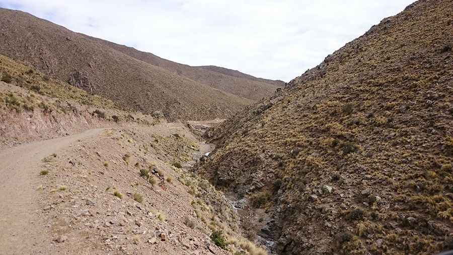
A hairpinned crazy road to Paso de Lara
Paso de Lara is a high mountain pass at an elevation of 3.625m (11,893ft) above the sea level, located in Tucuman province, in northwest Argentina.

Located within the Parque Provincial Cumbres Calchaquíes, the road to the summit is totally unpaved. It’s called RP 311 and RP 312/RP352. It was built in 2014. A 4x4 vehicle is required after rains. In dry weather, a 4x4 vehicle is recommended.
The road is extremely narrow, with huge drop offs. It has been featured in the Dakar Rally. Parts of the road can suddenly collapse and heavy rainfalls can cause landslides and rockslides. Never drive this trail alone.
The road is 100 km (62.13 miles) long, running west-east from Colalao del Valle to San Pedro de Colalao. It’s a steep drive. Starting from Colalao del Valle, the ascent is 42,7km long and the average gradient is 4.2%. Starting from San Pedro de Colalao, the ascent is 51.4km long and the average gradient is 5.6%.
Road suggested by: jorge manuel gómez sánchez
Pic: Daniel