Mormon Emigrant Trail is a drive worth taking in California
Mormon Emigrant Trail is a very scenic journey in El Dorado County, in the US state of California. The road was originally named Iron Mountain Road.
How long is Mormon Emigrant Trail?
Set high in the Sierra Nevada mountain range, the road is 39.42km (24.5 miles) long, running west-east from Sly Park to California State Route 88, also known as Carson Pass Highway, near Silver Lake. The opening of the trail created the first east-west road for wagons into Northern California.
Is Mormon Emigrant Trail paved?
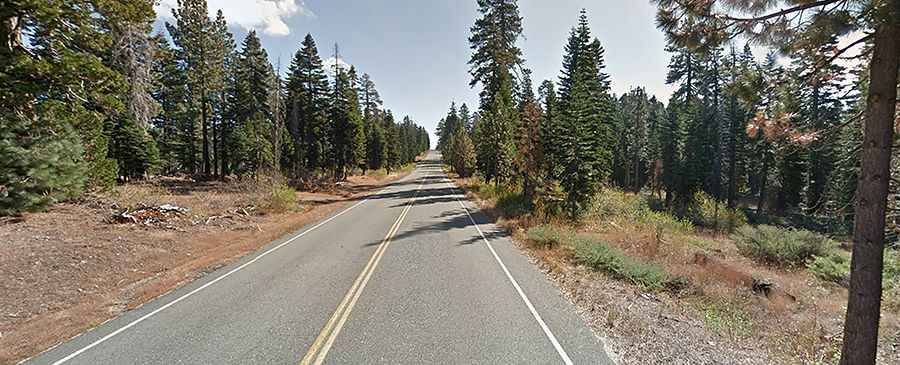
Located in the heart of Eldorado National Forest, in the northeastern part of California, the road is totally paved. The road is not too busy. It was originally named Iron Mountain Road but was renamed in the 1980’s. It’s a steep drive, hitting a 12% through some of the ramps.
Is Mormon Emigrant Trail open?
The road tops out at 2.277m (7,470ft) above sea level. It isn’t plowed in winter and is therefore impassable above the snow line. Do not expect access until mid-late June. It becomes dangerous to drive on when it ices up and accumulates snow. It is subject to a variety of weather conditions, including summer thunderstorms and heavy snowfall in the winter. Unpredictable events of nature can produce road hazards which may not be cleared upon your arrival. The Mormon Emigrant Trail was in the news in mid-August 2021 when the raging Caldor Fire engulfed the paved road.