How to get to the summit of Tucumcari Mountain in New Mexico?
Tucumcari Mountain is a high mountain peak at an elevation of 1,514m (4,967ft) above sea level, located in Quay County, in the US state of New Mexico.
Where is Tucumcari Mountain?
The peak, also known as Tucumcari Peak or Mesa Tucumcari, is located south of the town of Tucumcari, in the northeastern part of New Mexico.
Why is Tucumcari Mountain famous?
At the summit are several radio and cell towers. A cartoon version of this mountain appears in Cars, with 'RS' (for Radiator Springs) substituted for Tucumcari's 'T'.
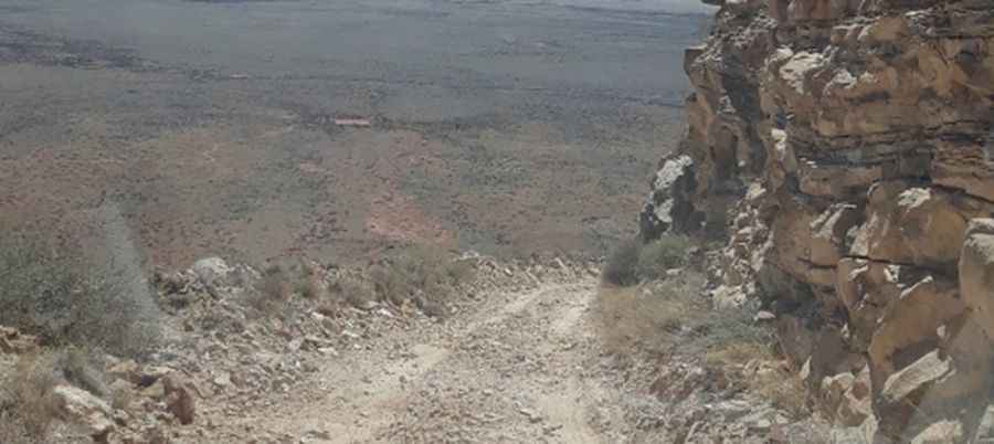
Is the road to Tucumcari Mountain unpaved?
The road to the summit is completely unpaved. It’s called S Mountain Road. It’s steep, narrow, and defiant due to its condition. A 4x4 vehicle is required. The road is usually gated, as it is private property.
How long is the road to Tucumcari Mountain?
Starting from Tucumcari (the county seat of Quay County), the road to the summit is 5.6 km (3.5 miles) long.
Pic: Jorge Orlando