How to get by car to South Twin Lake in Wyoming?
South Twin Lake is a high mountain lake at an elevation of 3,149m (10,331ft) above sea level, located in Carbon County, in the U.S. state of Wyoming. It’s known for its rugged road, which leads to one of the highest accessible points in Wyoming.
Where is South Twin Lake?
Situated near Laramie, this lake lies in the south-central region of Wyoming, near the border with Colorado, nestled within the Medicine Bow National Forest.
Is the road to South Twin Lake unpaved?
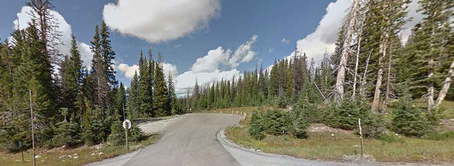
The road leading to the lake is entirely unpaved, known as NFSR 103, and it’s not for the faint-hearted. Only high-clearance, four-wheel drive vehicles are suited for this journey due to its narrow and rough conditions.
Is the road to South Twin Lake worth the drive?
The drive provides breathtaking views of alpine meadows and dramatic mountain landscapes. This road also offers access to other scenic glacial lakes in the region, including Dipper Lake, Ryan Brothers Lake, Quealy Lake, and Cascade Lake.
How long is the road to South Twin Lake?
The unpaved road stretches 14.6km (9.1 miles), starting from the WY-130 Road and ending at Brush Creek Road, with stunning mountain views along the way.
Is the road to South Twin Lake open in winter?
Located in the Snowy Range, the road becomes impassable in the winter months. Weather conditions can quickly shift, making the drive hazardous, so always check the forecast before heading out.