Saddlebag Lake: the highest lake in California that you can drive to
Saddlebag Lake is a high mountain lake at an elevation of 3,091m (10,141ft) above sea level, located in Mono County, in the U.S. state of California. It’s one of the highest roads in California and is said to be the highest drive-to lake in the region.

Where is Saddlebag Lake?
The lake is located in the east-central portion of California, within the Inyo National Forest, near the east entrance to Yosemite National Park.
When was the dam of Saddlebag Lake built?
In 1919, the Southern Sierra Power Company built the dam. It’s said to be the highest drive-to lake in the region. The road offers breathtaking views of beautiful lakes and majestic mountains. This is bear country.
Is the road to Saddlebag Lake unpaved?
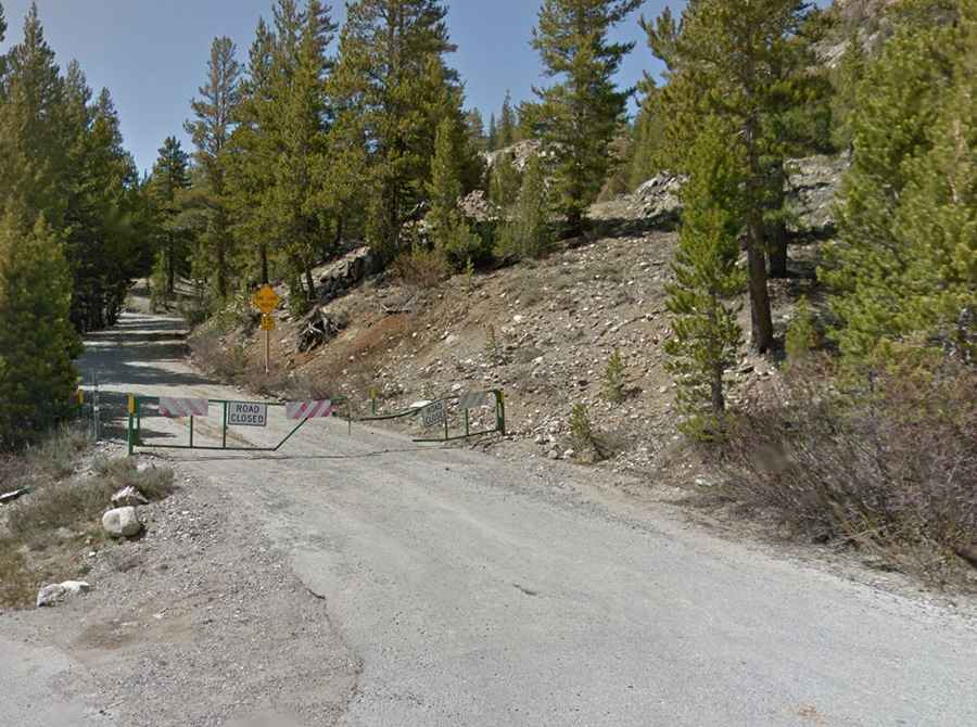
The road to the lake is a well-marked dirt road. It’s called Saddlebag Lake Road. Only small RVs or short trailers are allowed, with no RV hookups. The road experiences very low traffic.
How long is the road to Saddlebag Lake?
Starting from Tioga Road, the ascent is 4.02 km (2.5 miles) long. Over this distance, the elevation gain is 179 meters. The average gradient is 4.47%. The road ends at Saddlebag Lake Resort, with a parking lot, a campground, and a store where you can purchase food, drinks, and water taxi tickets.
Is the road to Saddlebag Lake open in winter?
Set high east of the Sierra Nevada, it is generally open to vehicle traffic only from late spring (usually late May or early June) through mid-fall (usually until the first significant snowfall in November).