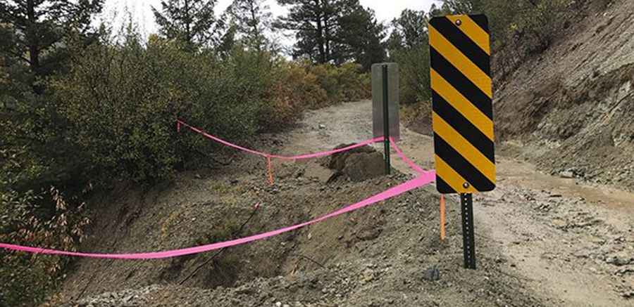
Driving the unpaved road to Old Red River Pass in New Mexico
Old Red River Pass is a high mountain pass at an elevation of 3,021m (9,911ft) above sea level, located in Taos County, in the US state of New Mexico.

Where is Old Red River Pass?
The pass is located north of Taos, in the northern part of New Mexico, near the Colorado border within the Carson National Forest. The top of this road offers great views of the Red River Upper Valley, Wheeler Peak, and Gold Hill.
Is the road to Old Red River Pass unpaved?
The road to the summit is totally unpaved. It’s called Forest Access Road 488 (Old Red River Pass Road). This steep and narrow series of switchbacks was an early road into town and an engineering feat built in 1915-1916.
How challenging is the road to Old Red River Pass?
Set high in the Sangre de Cristo Mountains, the trail is pretty slow-going. 4WD is recommended. The grade is a comfortable, steady uphill climb. The trail is wide enough for one vehicle on the way up, with a couple of spots to pass at the switchbacks. It’s usually impassable in winters.
How long is the road to Old Red River Pass?
Starting from the NM-578 road, south of Red River, the ascent is 5.2km (3.2 miles) long. Over this distance, the elevation gain is 333 meters (1,093 ft). The average gradient is 6.40% via 6 hairpin turns.
Pic: Carson National Forest