Driving the 4x4 Road to Leek Spring Hill in California
Leek Spring Hill is a high mountain peak at an elevation of 2,326m (7,631ft) above sea level, located in El Dorado County, in the U.S. state of California.

Where is Leek Spring Hill?
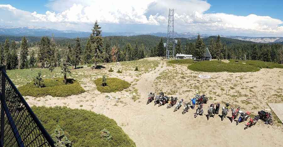
The peak is situated in the heart of Eldorado National Forest, in the northeastern part of California. The summit hosts a fire lookout tower, typically staffed during the fire season. The expansive views from the lookout are breathtaking, including Pyramid Peak and the Crystal Range (N), Thimble Peak and Round Top (E), and Mokelumne Peak (S).
Is the Road to Leek Spring Hill Unpaved?
The road to the summit is entirely unpaved. Known as Leek Spring Hill Road, it is a dirt forest road suitable only for 4-wheel-drive vehicles. Drivers should be prepared for self-reliance, as cell phone service is unreliable in this very remote area.
How Long is the Road to Leek Spring Hill?
Starting from the paved Mormon Emigrant Trail, the road to the summit is 4.02 km (2.5 miles) long.
Is the Road to Leek Spring Hill Open in Winter?
Set high in the Sierra Nevada mountains, the road is not plowed during winter and becomes impassable above the snow line. Access is typically not available until mid-to-late June.
Pic. John Ehinger