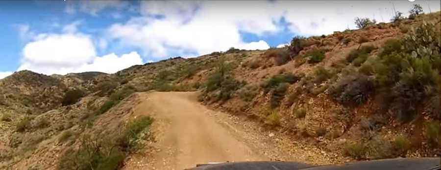
Driving the Scenic Montana Mountain Trail in Gila County
Montana Mountain Trail is a very scenic and challenging loop drive located in Gila County, in the U.S. state of Arizona. It’s a narrow trail up the mountain, with multiple river crossings.

Where Is Montana Mountain Trail?
The trail is located east of Phoenix, in the central part of Arizona, within the Superstition Wilderness.
Is Montana Mountain Trail Unpaved?
The road is totally unpaved. The condition of the road varies with each trip. While the trail remains fairly wide and graded for most of its length, it does have some steep and rutted sections. The road is narrow, steep, and rough. Stock vehicles with high ground clearance and good articulation can make it, though 4x4 driving skills are necessary.
Is Montana Mountain Trail Open in Winter?
The drive tops out at 1,662m (5,452ft) above sea level. The trail does receive snow, so exercise caution on the steep sections, especially if you attempt this trail after recent snowfall (not advised). If there has been any recent weather, parts of the loop can become slippery or even snow-covered in the winter months.
Is Montana Mountain Trail Worth the Drive?
The drive provides stunning views. It’s a 56 km (35-mile) loop through amazing mountains. The journey offers spectacular views of the Tonto National Forest. On weekends with nice weather, it can get a bit crowded. The scenery on this drive is spectacular and diverse, making it a great high desert loop route for SUVs and ATVs. The trail climbs to over 5,000 feet, offering panoramic desert and mountain views.
Pic&video: The Right Line