A memorable road trip to Velocity Basin in Colorado
Velocity Basin is a cirque basin with a small turquoise lake at its base, at an elevation of 3.449m (11,315ft) above sea level, located in San Juan County, in the U.S. state of Colorado.

Where is Velocity Basin?
The basin (formerly named Colorado Basin) is located just north of Silverton, in the southwestern part of Colorado, at the north foot of Storm Peak.
Is the road to Velocity Basin unpaved?
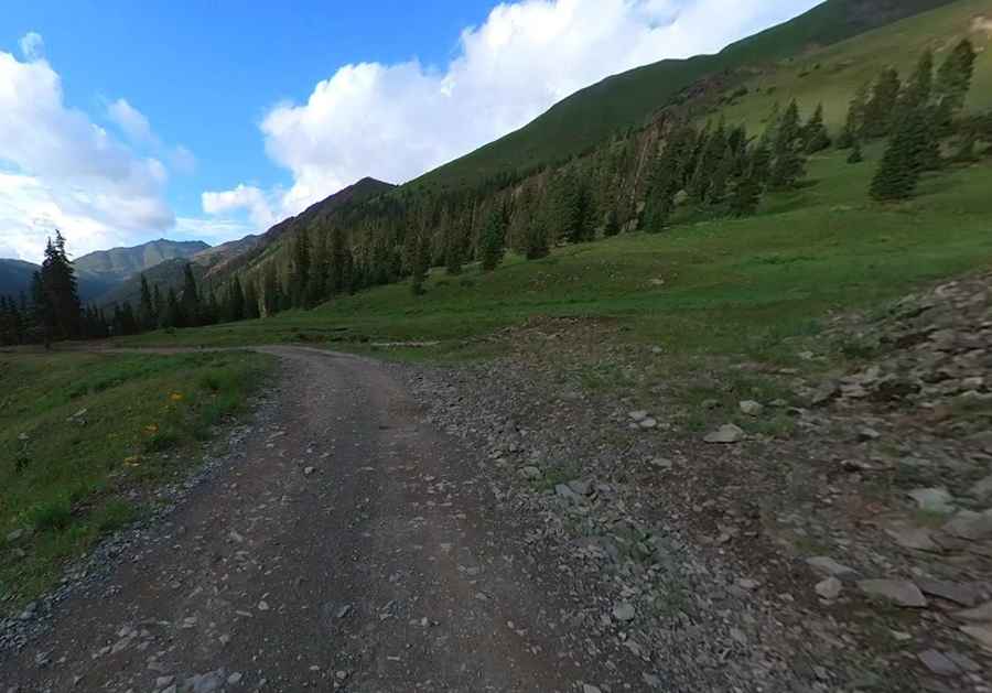
The road to the basin is totally unpaved. It’s called County Road 52. Road conditions are always changing. This trail is well maintained as it provides access to several summer cabins.
How challenging is the road to Velocity Basin?
Last mile or so is pretty bumpy. There are a few muddy sections but nothing to be concerned with. Stay alert for potential turnouts as you may meet traffic in inconvenient locations. The end of the trail is just below the lake. 4x4 vehicle required.
Is the road to Velocity Basin open in winter?
Set high in the San Juan Mountains, winter comes early and stays late on this trail, so you may only be able to safely run it in the middle of the summer. Spring doesn’t get the chance to happen here until July or August.
How long is the road to Velocity Basin?
The road to the summit is pretty steep. Starting at State Highway 110, the road to the summit is 2.73km (1.7 miles) long. Over this distance the elevation gain is 241 meters, and the average gradient is 8.82%.
Pic: More To Living