Tip Top Mountain
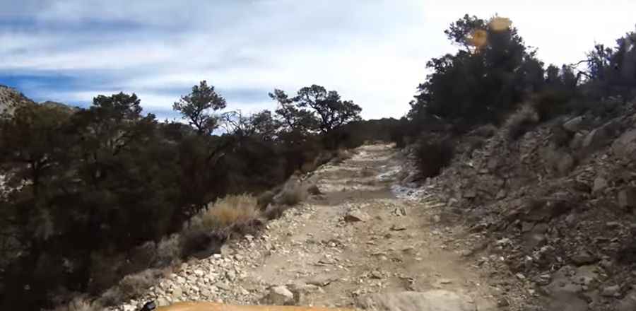
Tip Top Mountain is a high mountain peak at an elevation of 2.295m (7,529ft) above the sea level, located in San Bernardino County, California, United States. The road to the summit is rocky with some great inclines and large, sharp rocks that require a little skill to maneuver. It’s 9.0 miles long starting from Baldwin Lake.

The road to the summit, located in the San Bernardino National Forest, is gravel, rocky, tippy and bumpy at times. One mistake can have serious consequences. It’s called Tip Top Mountain Road - Forest Road 2N90. Road conditions are always changing. Winter comes early and stays late on this trail, so you may only be able to safely run it in the middle of the summer. Avoid committing your vehicle to what is in front of you until you are sure of what you are getting into because things could get worse. Tip Top Mountain was home to a silver, lead, and gold mine back in the late 1800's up through the early 1900's. The trail follows numerous remnants of California's mining heritage. Today you can still find the mines throughout the area, but many are unsafe to explore and the Forest Service have blocked many of the mine entrances off. 4x4 vehicle required. The road is in very poor condition and may not be passable with many 4WD vehicles.
The journey offers an exhilarating driving experience, with great views all along the way. An incredible journey, an unforgettable experience. The summit is one of the true hidden treasures in this area. This is definitely one road trip that you want to record with lots of photographs. There are lots of viewpoints, official and unofficial. The road is a delight to drive, with every kind of twist and turn. The top has a 360 degree picturesque view, with diverse scenery ranging from the sun-drenched desert landscape to the lush, and at times snow-capped mountains of the San Bernardino National Forest.
Pic&video: Steven Rockwell