How to drive to Gray’s Peak in Colorado
Gray’s Peak is a high mountain peak located in Clear Creek County, in the U.S. state of Colorado. A very rough road climbs up to 3,488m (11,443ft) above sea level near the summit. The road is somewhat rough, so a 4x4 vehicle with good clearance is recommended.

Where is Gray’s Peak?
The peak is located in the central part of Colorado, 40 miles west of Denver.
Is the road to Gray’s Peak in Colorado unpaved?
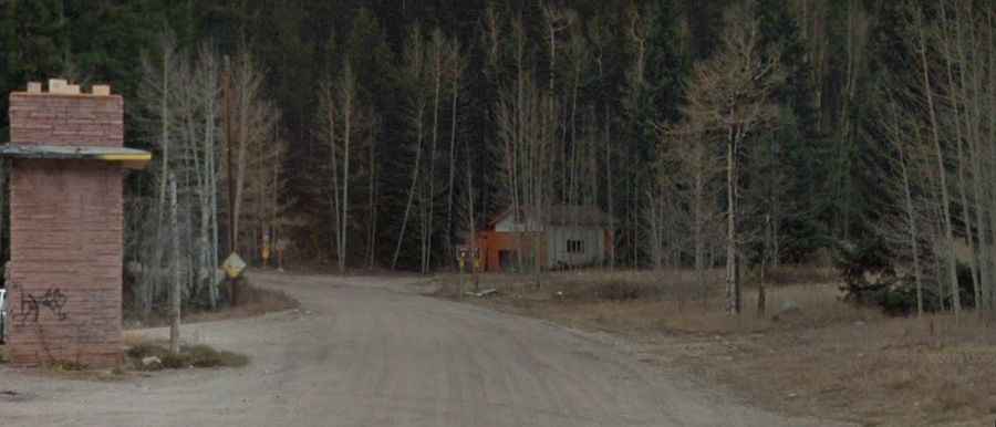
Set high in the Front Range of the Rocky Mountains, the road to Gray’s Peak upper trailhead parking lot is completely unpaved with many rocky, loose climbs, washouts, and potholes. It’s called Stevens Gulch Road (Road 321). The road is no longer maintained, with cuts in the road over two feet deep and large stones in the path.
How long is the road to Gray’s Peak in Colorado?
The road is very steep, reaching a maximum gradient of 13% in some sections. Starting at I-70, the road is 5.47km (3.4 miles) long. Over this distance, the elevation gain is 501 meters. The average gradient is 9.15%. The road gets rough in places and is in poor condition. A good 4WD won’t have any problem, and most AWD vehicles should manage, though care needs to be taken.
Is the road to Gray’s Peak in Colorado busy?
In the summer, the parking fills up quickly, forcing people to park along the roadside and in the lower lot. On weekends, expect to see dozens of vehicles parked along the road. Stay alert for potential turnouts as you may encounter oncoming traffic in inconvenient locations.
Is Gray’s Peak in Colorado open?
Be aware that road conditions can change from year to year. Winter comes early and stays late on this trail, so it may only be safe to travel in the middle of summer. June to August is the best time for mountain conditions as there is the least amount of snow during this period.