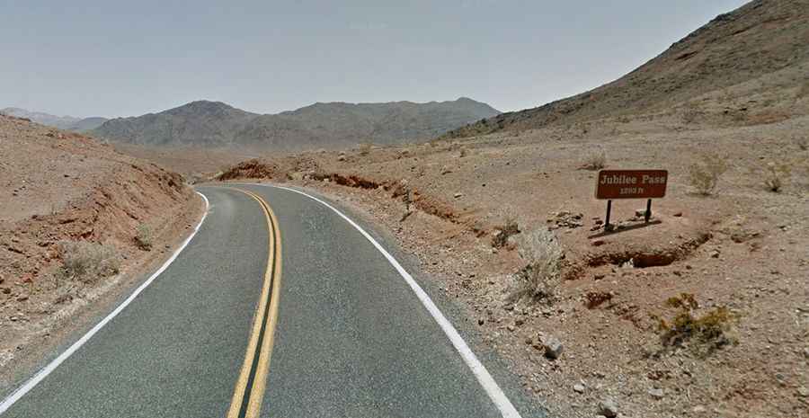
A Smooth Road to Jubilee Pass in Death Valley NP
Jubilee Pass is a mountain pass at an elevation of 403m (1,322ft) above sea level, located in Inyo County, in the US state of California.

Where is Jubilee Pass?
The pass is located in the eastern central part of California, at the southern end of Death Valley National Park. This route provides a scenic drive through southern Death Valley, though temperatures from May to October can be extremely hot.
Why is Jubilee Pass Important?
Jubilee Pass has long been a critical route for travelers and miners crossing the region. Positioned near other mining areas rich in history, the pass was especially important in the late 1800s, when prospectors searched these tough landscapes for gold and silver. Despite the dry, challenging climate, Jubilee Pass remains an essential path for those navigating Death Valley.
Is Jubilee Pass Paved?
The road to the pass summit is fully paved and is known as CA-178 (Jubilee Pass Road). The drive is smooth and scenic but can be impacted by flash floods. Some sections are quite steep, with a maximum gradient of 8% along certain ramps.
How Long is Jubilee Pass?
The pass road, set high in the Greenwater Mountains, stretches 40.23km (25 miles), running west-east from Badwater Road to CA-127.