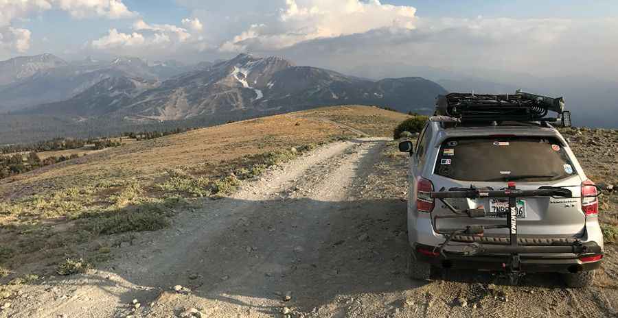
Driving the Unpaved Road to Deadman Pass in California
Deadman Pass is a high mountain peak at an elevation of 3,129m (10,265ft) above sea level, located in the US state of California. It’s one of the highest roads in California.

Where is Deadman Pass in California?
The pass lies on the boundary between Mono and Madera counties, in eastern California, within the Inyo National Forest. From the pass, there are stunning views of Mammoth Mountain and the Ansel Adams Wilderness area.
Why is it Called Deadman Pass?
The pass earned its name after the decapitated body of a murder victim was discovered nearby in 1868.
Is the Road to Deadman Pass in California Unpaved?
Yes, the road to the summit is entirely unpaved with dusty and rocky sections, but it’s suitable for any stock 4x4 SUV.
How Long is the Road to Deadman Pass in California?
Starting from Minaret Summit, the road stretches 4.5 km (2.79 miles), with an elevation gain of 325 m and an average gradient of 7.22%.
Is the Road to Deadman Pass in California Open in Winter?
Located high in the Sierra Nevada Mountains, the road is usually impassable in winter, with snow often lingering well into July.
Pic: Israel Villalobos