Ultimate 4WD Destination: Trinchera Peak in Colorado
Trinchera Peak is a high mountain peak at an elevation of 3,860 m (12,664 ft) above sea level, located in the U.S. state of Colorado. It’s one of the highest roads in Colorado.

Where is Trinchera Peak?
The peak is located at the cornerstone of three counties (Huerfano, Las Animas, and Costilla) in the southern part of Colorado. The summit view offers a panorama of the surrounding valleys, plains, and forests.
Is the Road to Trinchera Peak Unpaved?
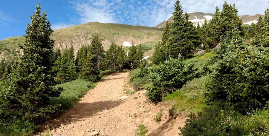
The road to the summit is entirely unpaved. It's an old mine road called Trinchera Peak Road (Forest Road 436). The trail is accessible by 4WD and other vehicles with higher clearance. The switchbacks approaching the mine from the south are quite rough, and although the turnarounds are extremely tight, a short-wheelbase vehicle is not a problem.
How Long is the Road to Trinchera Peak in Colorado?
Starting at the paved CO-12, the road to the summit is 11.8 km long. Over this distance, the elevation gain is 1,026 m, and the average gradient is 8.69%.
Is the Road to Trinchera Peak Open in Winter?
Set high in the Culebra Range of the Sangre de Cristo Mountains, the road to the summit is closed around November due to heavy snowfalls. Even in summer, you may encounter snowy days. When you arrive at the summit, if the winds are blowing too hard (which is not uncommon for this range), you can hide behind some of the large cairns.
Pic: Patrick Van Ryn